Wayside shrine
Location: Sankt Johann im Saggautal
GPS coordinates: 46.72871,15.36030
Latest update: November 18, 2025 01:45
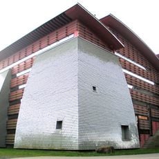
Greith-Haus
3.4 km
Pfarrkirche St. Ulrich in Greith, Kopreinigg
3.4 km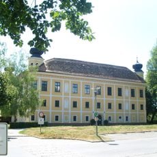
Schloss Gleinstätten
2.7 km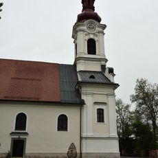
Pfarrkirche hl. Michael, Gleinstätten
2.6 km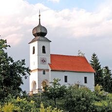
Filialkirche St. Georgen am Lukowitsch
583 m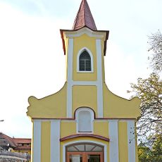
Anna-Kapelle
4.1 km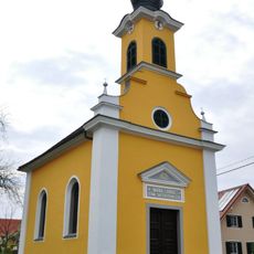
Flur-/Wegkapelle Maria Lourdes
3.8 km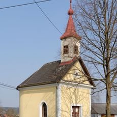
Ortskapelle
3.4 km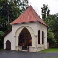
Kapelle hl. Antonius
2.6 km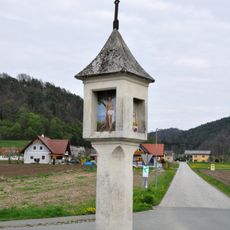
Bildstock
4.2 km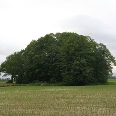
Burstall von Kelzenwert
4.2 km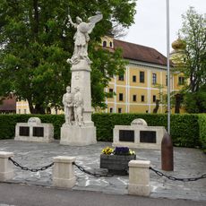
Kriegerdenkmal Gleinstätten
2.6 km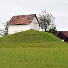
Siedlung und Nekropole der Hallstattzeit auf dem Burgstallkogel
3.3 km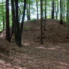
Siedlung und Nekropole der Hallstattzeit auf dem Burgstallkogel
3.8 km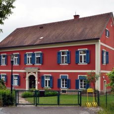
Kindergarten, Pfarrhof
2.7 km
Hallstattzeitliche Hügelgräber der Grellwaldgruppe (Teil der Sulmtalnekropole=Burgstallnekropole)
3.6 km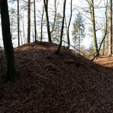
Barrow cemetery Pistorf
4.1 km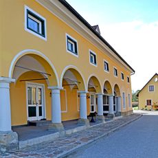
Affahrtmühle
3.6 km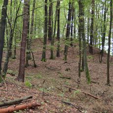
Siedlung und Nekropole der Hallstattzeit auf dem Burgstallkogel
3.5 km
Ancient Sleepers
2.6 km
Table
2.7 km
Wayside cross
3.1 km
Wayside cross
3.2 km
Christianity, Catholic church building, wayside cross
4.1 km
Wayside shrine
3.2 km
Rekonstruiertes Hallstattzeitliches Gehöft
4.1 km
Wayside shrine
2.5 km
Wayside cross
3.6 kmReviews
Visited this place? Tap the stars to rate it and share your experience / photos with the community! Try now! You can cancel it anytime.
Discover hidden gems everywhere you go!
From secret cafés to breathtaking viewpoints, skip the crowded tourist spots and find places that match your style. Our app makes it easy with voice search, smart filtering, route optimization, and insider tips from travelers worldwide. Download now for the complete mobile experience.

A unique approach to discovering new places❞
— Le Figaro
All the places worth exploring❞
— France Info
A tailor-made excursion in just a few clicks❞
— 20 Minutes