Wayside shrine
Location: Weißenkirchen in der Wachau
GPS coordinates: 48.39334,15.46165
Latest update: November 13, 2025 20:36

Friedhof Weißenkirchen in der Wachau
269 m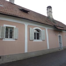
Weißenkirchen in der Wachau 147
602 m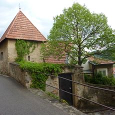
Bauernhaus
583 m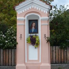
Bildstock
509 m
Wohnhaus
468 m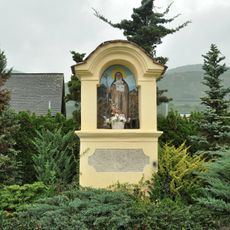
Bildstock
322 m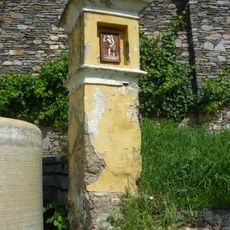
Bildstock
266 m
Wohnhaus
582 m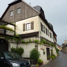
Wohnhaus
488 m
Wohnhaus
466 m
Wohnhaus
424 m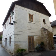
Wohnhaus
566 m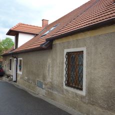
Weißenkirchen in der Wachau 150
559 m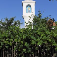
Bildstock
341 m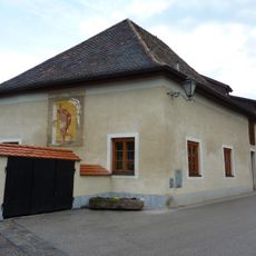
Weißenkirchen in der Wachau 167
597 m
Bildstock
361 m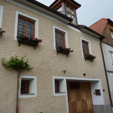
Weißenkirchen Neideggerhof
502 m
Wohnhaus
487 m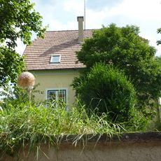
Wohnhaus
404 m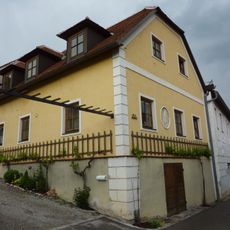
Wohnhaus
545 m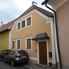
Wohnhaus
620 m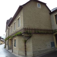
Wohnhaus
469 m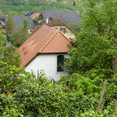
Wohnhaus, ehem. Lesehof
500 m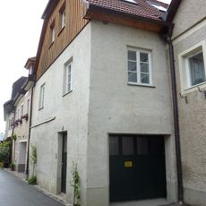
Bürgerhaus
511 m
Wohnhaus
520 m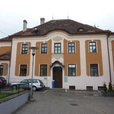
Wohnhaus, Stiftungshaus
620 m
Wohnhaus
449 m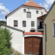
Wohnhaus
622 mReviews
Visited this place? Tap the stars to rate it and share your experience / photos with the community! Try now! You can cancel it anytime.
Discover hidden gems everywhere you go!
From secret cafés to breathtaking viewpoints, skip the crowded tourist spots and find places that match your style. Our app makes it easy with voice search, smart filtering, route optimization, and insider tips from travelers worldwide. Download now for the complete mobile experience.

A unique approach to discovering new places❞
— Le Figaro
All the places worth exploring❞
— France Info
A tailor-made excursion in just a few clicks❞
— 20 Minutes