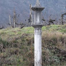
Wayside shrine
Location: Schönberg am Kamp
GPS coordinates: 48.52839,15.70118
Latest update: November 15, 2025 06:02
Kreuz im Renner
1 km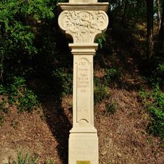
Stations of the Cross and calvary hill Schönberg am Kamp
585 m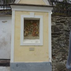
Stations of the Cross and calvary hill in Stiefern
1 km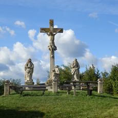
Calvary hill in Schönberg am Kamp
694 m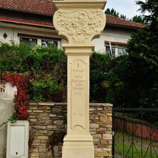
1. Station des Kreuzwegs in Schönberg am Kamp
763 m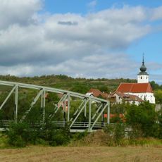
Railway bridge Stiefern
876 m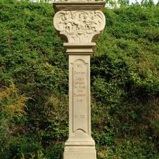
7. Station des Kreuzwegs in Schönberg am Kamp
592 m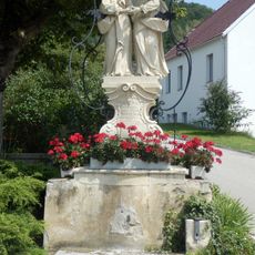
Schönberger Urlaubung
922 m
4. Station des Kreuzwegs in Schönberg am Kamp
641 m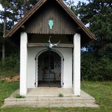
Hubertuskapelle Schönberg am Kamp
201 m
11. Station des Kreuzwegs in Schönberg am Kamp
585 m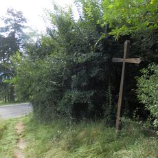
Holzkreuz Schönberg Naturlehrpfad
11 m
5. Station des Kreuzwegs in Schönberg am Kamp
617 m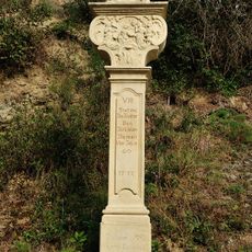
8. Station des Kreuzwegs in Schönberg am Kamp
589 m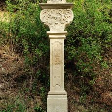
9. Station des Kreuzwegs in Schönberg am Kamp
611 m
Heiligenbild Hl. Florian Stiefern Nr. 7
1 km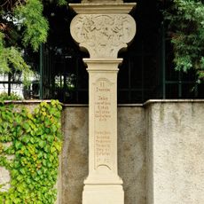
2. Station des Kreuzwegs in Schönberg am Kamp
726 m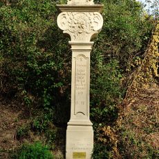
10. Station des Kreuzwegs in Schönberg am Kamp
631 m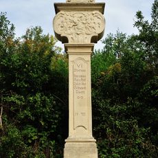
6. Station des Kreuzwegs in Schönberg am Kamp
594 m
3. Station des Kreuzwegs in Schönberg am Kamp
680 m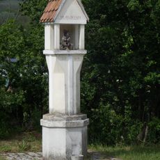
Florianipfeiler Schönberg am Kamp
821 m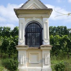
Bildstock hl. Donatus
972 m
Mondrohr
830 m
Schaubühne
782 m
Wayside shrine
974 m
Hl. Florian
818 m
Station III
675 m
Station II
757 mReviews
Visited this place? Tap the stars to rate it and share your experience / photos with the community! Try now! You can cancel it anytime.
Discover hidden gems everywhere you go!
From secret cafés to breathtaking viewpoints, skip the crowded tourist spots and find places that match your style. Our app makes it easy with voice search, smart filtering, route optimization, and insider tips from travelers worldwide. Download now for the complete mobile experience.

A unique approach to discovering new places❞
— Le Figaro
All the places worth exploring❞
— France Info
A tailor-made excursion in just a few clicks❞
— 20 Minutes