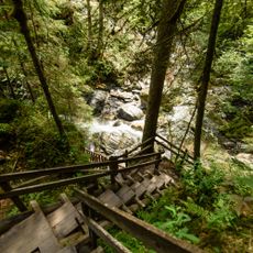
Donnersbachklamm
4.9 km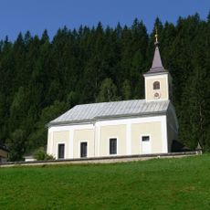
Pfarrkirche Donnersbachwald
5.7 km
Hochstein
2 km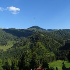
Hochrettelstein
4.3 km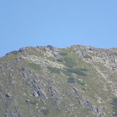
Seekoppe
5.8 km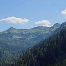
Plannerseekarspitze
2.4 km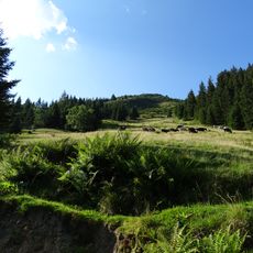
Mölbegg
4.8 km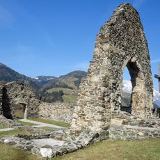
Kirchenruine St. Ägydius
6.1 km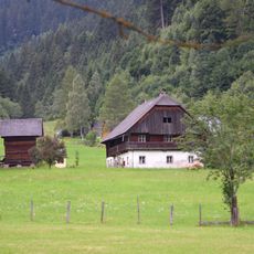
Mörsbachgut Donnersbachwald
5.6 km
Waterfall
3.6 km
Waterfall
3.5 km
Waterfall
4.9 km
Scenic viewpoint
5.1 km
Klammrast
5.1 km
Waterfall
5.2 km
Tafel an der Südseite: Für Ing. Reinhold Simmler und Kommerzialrat Karl ZEttler wurde ob ihrer Verdienste für die 1936 erfolgte Eröffnung des Klammsteigs ein Denkmal bzw. ein Brunnen errichtet. Der Karl Zettler Brunne wurde durch einen Windwurf zerstört.
5.2 km
Memorial, commemorative plaque
5.2 km
Memorial, commemorative plaque
5.5 km
Waterfall
4.9 km
Memorial
5.7 km
Neues Plannerkreuz
2.4 km
Rupert Pieber
1.4 km
Memorial
6 km
Wayside shrine, Christianity
6 km
Plotscherkreuz
6.1 km
Waterfall
710 m
Scenic viewpoint
6.1 km
Wayside cross
6.3 kmReviews
Visited this place? Tap the stars to rate it and share your experience / photos with the community! Try now! You can cancel it anytime.
Discover hidden gems everywhere you go!
From secret cafés to breathtaking viewpoints, skip the crowded tourist spots and find places that match your style. Our app makes it easy with voice search, smart filtering, route optimization, and insider tips from travelers worldwide. Download now for the complete mobile experience.

A unique approach to discovering new places❞
— Le Figaro
All the places worth exploring❞
— France Info
A tailor-made excursion in just a few clicks❞
— 20 Minutes