Wayside shrine
Location: Haslach an der Mühl
GPS coordinates: 48.58742,14.03738
Latest update: November 13, 2025 10:21
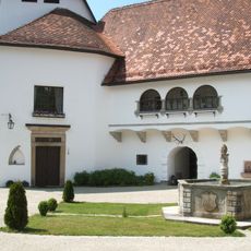
Schloss Lichtenau (Oberösterreich)
211 m
Wehranlage (Haslach an der Mühl)
1.2 km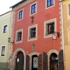
Museum, ehem. Salzherrnhaus (mit Ausnahme d. Hinterhauses)
1.2 km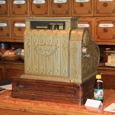
Kaufmannsmuseum
1.2 km
Burgstall Herrenmühlnerfelsen
976 m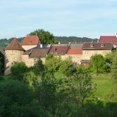
Teil der Marktbefestigung
1.2 km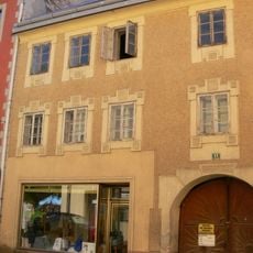
Bürgerhaus, Leinweberhaus
1.2 km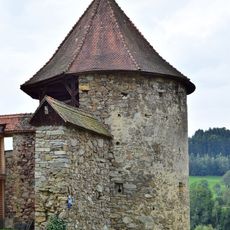
Eckturm und Mauerstück
1.2 km
Bürgerhaus, Schuhmacherhaus
1.2 km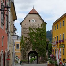
Torturm, Haslach an der Mühl
1.2 km
Lichtpfeiler Haslach
1.1 km
Heimathaus im Alten Turm
1.2 km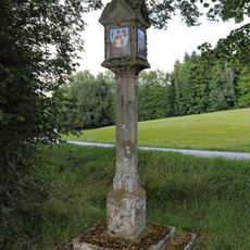
Bildstock nördlich von Lichtenau
833 m
Teil der Marktbefestigung
1.2 km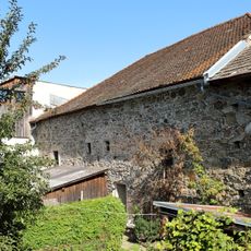
Teil der Marktbefestigung
1.3 km
Bürgerhaus, sog. Leinwandhändlerhaus
1.3 km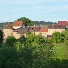
Teil der Marktbefestigung
1.2 km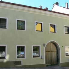
Bürgerhaus, ehem. Schwarz- und Schönfärberhaus
1.3 km
Bürgerhaus, Weber- und Viehhändlerhaus
1.2 km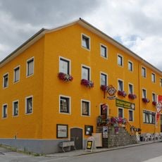
Bürgerhaus, Bäcker- und Gasthaus
1.2 km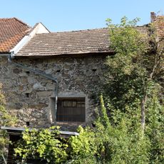
Teil der Marktbefestigung
1.3 km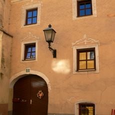
Bürgerhaus, Leinenweberhaus mit Hinterhaus
1.2 km
Wayside shrine
1.1 km
Wayside cross
705 m
Wayside shrine
1.1 km
Wayside cross
856 m
Wayside shrine
1 km
Wayside shrine, Christianity
1.1 kmReviews
Visited this place? Tap the stars to rate it and share your experience / photos with the community! Try now! You can cancel it anytime.
Discover hidden gems everywhere you go!
From secret cafés to breathtaking viewpoints, skip the crowded tourist spots and find places that match your style. Our app makes it easy with voice search, smart filtering, route optimization, and insider tips from travelers worldwide. Download now for the complete mobile experience.

A unique approach to discovering new places❞
— Le Figaro
All the places worth exploring❞
— France Info
A tailor-made excursion in just a few clicks❞
— 20 Minutes