Wayside cross
Location: Gratwein-Straßengel
GPS coordinates: 47.13247,15.29596
Latest update: November 16, 2025 11:09

Rein Abbey
667 m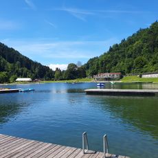
Bad Weihermühle
864 m
Stiftsbibliothek Rein
873 m
Friedhof Stift Rein-Eisbach
973 m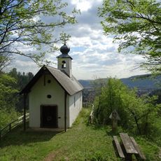
Kalvarienkirche, Eisbach
939 m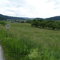
Prähistorischer Hornsteinbergbau Eisbach
789 m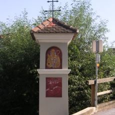
Bildstock, Tallak 74
649 m
St. Josefsheim, Eisbach
671 m
Tallak
486 m
Landesgut Hörgas
809 m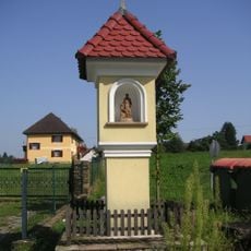
Bildstock
638 m
Wayside shrine
675 m
6. Station
664 m
Memorial, war memorial
916 m
Work of art, sculpture
934 m
1. Station
469 m
2. Station
500 m
3. Station
547 m
4. Station
579 m
5. Station
644 m
Bench, scenic viewpoint
936 m
7. Station
686 m
8. Station
711 m
9. Station
746 m
10. Station
788 m
11. Station
838 m
12. Station
894 m
13.+14. Station
918 mReviews
Visited this place? Tap the stars to rate it and share your experience / photos with the community! Try now! You can cancel it anytime.
Discover hidden gems everywhere you go!
From secret cafés to breathtaking viewpoints, skip the crowded tourist spots and find places that match your style. Our app makes it easy with voice search, smart filtering, route optimization, and insider tips from travelers worldwide. Download now for the complete mobile experience.

A unique approach to discovering new places❞
— Le Figaro
All the places worth exploring❞
— France Info
A tailor-made excursion in just a few clicks❞
— 20 Minutes