Catholic church building, wayside cross
Location: Luz-Saint-Sauveur
GPS coordinates: 42.87289,0.00062
Latest update: November 16, 2025 17:21
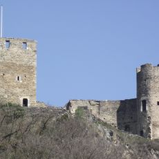
Château de Sainte-Marie
318 m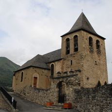
Église Saint-Nicolas d'Esquièze
614 m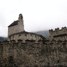
Église des templiers, Luz-Saint-Sauveur
357 m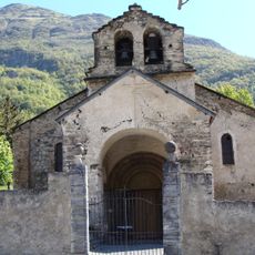
Église Saint-Jean-Baptiste de Sère
916 m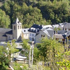
Église Saint-Michel de Viella
1.2 km
Water well, drinking fountain
342 m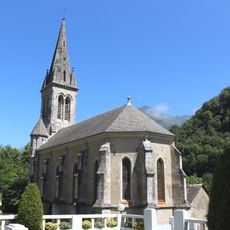
Église Saint-Joseph de Luz-Saint-Sauveur
1.4 km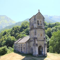
Chapelle de Solférino de Luz-Saint-Sauveur
859 m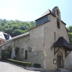
Église Saint-Étienne d'Esterre
556 m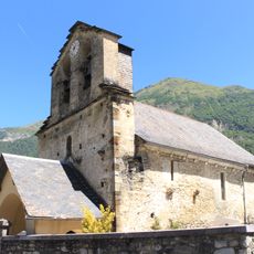
Église Notre-Dame-de-l'Assomption de Sassis
1.5 km
Musée municipal de Luz-Saint-Sauveur
371 m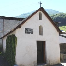
Chapelle Sainte-Barbe de Luz-Saint-Sauveur
445 m
Thermes de Saint-Sauveur
1.4 km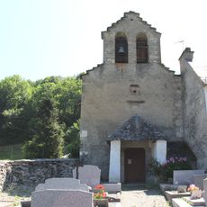
Chapelle Notre-Dame-de-la-Pitié de Villenave
424 m
Maison Druène
194 m
Scenic viewpoint
762 m
Scenic viewpoint
1.3 km
Scenic viewpoint
1.3 km
Mural, Work of art
300 m
Statue, Work of art
1.4 km
Catholic church building, wayside cross
933 m
Monument aux Morts
349 m
Catholic church building, wayside cross
468 m
Calvaire
534 m
Wayside cross
485 m
Wayside cross
518 m
Wayside cross
336 m
Memorial, Obelisk
872 mReviews
Visited this place? Tap the stars to rate it and share your experience / photos with the community! Try now! You can cancel it anytime.
Discover hidden gems everywhere you go!
From secret cafés to breathtaking viewpoints, skip the crowded tourist spots and find places that match your style. Our app makes it easy with voice search, smart filtering, route optimization, and insider tips from travelers worldwide. Download now for the complete mobile experience.

A unique approach to discovering new places❞
— Le Figaro
All the places worth exploring❞
— France Info
A tailor-made excursion in just a few clicks❞
— 20 Minutes