Catholic church building, wayside cross
Location: La Salvetat-sur-Agout
GPS coordinates: 43.59973,2.70253
Latest update: November 26, 2025 21:08
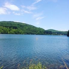
Lac de la Raviège
4.5 km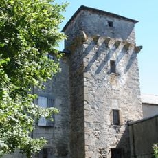
Château d'Arifat
1.4 km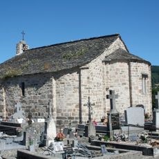
Chapelle de Saint Étienne de Cavall
1.1 km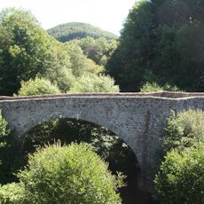
Pont de Saint-Étienne de la Salvetat-sur-Agout
246 m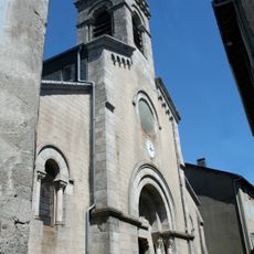
Église de Saint Étienne de La Salvetat-sur-Agout
1.1 km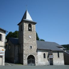
Église Saint-Jean du Soulié
5.5 km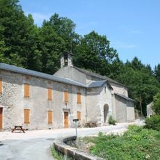
Église et prieuré Saint-Pierre de Tastavy
5.3 km
Wayside cross
353 m
Wayside cross
5.5 km
Wayside cross
1.1 km
Wayside cross
913 m
Wayside cross
3 km
Wayside cross
177 m
Wayside cross
489 m
Gravures du Roc del Bosc
4.7 km
Wayside cross
324 m
Wayside cross
339 m
Wayside cross
36 m
Wayside cross
857 m
Calvaire
5.5 km
Statue-menhir de Gieussels
3.2 km
Les Carbounios
4.8 km
Catholic church building, wayside cross
4.5 km
Wayside cross
91 m
Stele, memorial
5.5 km
Wayside cross
5.5 km
Wayside cross
5.5 km
Wayside cross
1.3 kmVisited this place? Tap the stars to rate it and share your experience / photos with the community! Try now! You can cancel it anytime.
Discover hidden gems everywhere you go!
From secret cafés to breathtaking viewpoints, skip the crowded tourist spots and find places that match your style. Our app makes it easy with voice search, smart filtering, route optimization, and insider tips from travelers worldwide. Download now for the complete mobile experience.

A unique approach to discovering new places❞
— Le Figaro
All the places worth exploring❞
— France Info
A tailor-made excursion in just a few clicks❞
— 20 Minutes