Enable Location

We need your location to show you interesting places around you

Discover nearby places

Find interesting locations and hidden gems around you

Precise directions

Get accurate directions and distances to places

Your location is never shared with other users. It's only used when you tap the location button.

La Salvetat-sur-Agout

Log in to your account

Start exploring — it's free

Trusted by 62,949 travelers worldwide

Continue with Google
Continue with Apple
or

We will send you a code to connect

By continuing, you accept our Terms and Conditions and our Privacy Policy

Check your inbox

We've sent a pincode in your inbox. Please enter the code below.

La Salvetat-sur-Agout
Discussion Reviews 1 Photos
25.6k Popularity

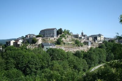
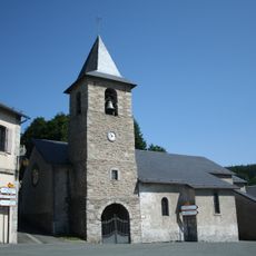
La Salvetat-sur-Agout, Mountain commune in Hérault, France.

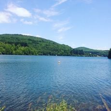
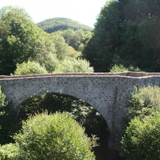
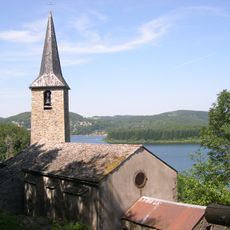
La Salvetat-sur-Agout is a mountain commune in southern France's Occitanie region, spread across thousands of hectares. The territory is covered in forests and dotted with lakes and waterways that define its natural character.

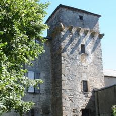
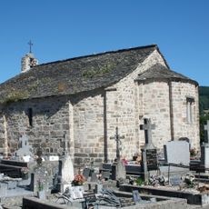
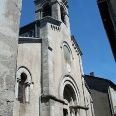
The settlement was founded in medieval times as a fortified village and has remained a rural community ever since. Like many mountain regions, it experienced population shifts during the 20th century as people moved in and out.

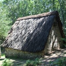
The name comes from a medieval settlement term, reflecting the area's long-standing human presence. Today, the relationship between locals and their forested surroundings shapes daily life and community activities.

The village sits at around 700 meters elevation and can be reached via several mountain passes at varying heights. Visitors should expect hilly terrain and changeable weather, especially in the higher passages.

The area is known for mineral water production, extracted from natural springs that have been tapped for generations. These waters have long been a defining part of the local economy and community identity.

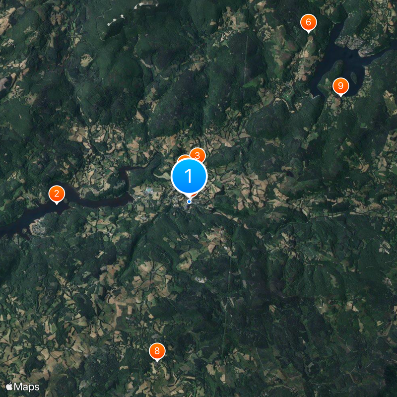
The community of curious travelers

AroundUs brings together thousands of curated places, local tips, and hidden gems, enriched daily by 60,000 contributors worldwide.

Start exploring
Location
Location
Communauté de communes des Monts de Lacaune et de la Montagne du Haut Languedoc
Elevation above the sea
813 m
Shares border with
Le Soulié, Anglès, Lacaune, Lamontélarié, Nages, Fraisse-sur-Agout, Riols
Address
Place Compostelle, 34330 La Salvetat-sur-Agout
Phone
GPS coordinates
43.60083,2.70333
Latest update
December 20, 2025 16:17
Reviews
Share your experience

No review yet

Discussions
Start a discussion...

No discussion yet

« La Salvetat-sur-Agout - Mountain commune in Hérault, France » is provided by Around Us (aroundus.com). Images and texts are derived from Wikimedia project under a Creative Commons license. You are allowed to copy, distribute, and modify copies of this page, under the conditions set by the license, as long as this note is clearly visible.

Discover hidden gems everywhere you go!

From secret cafés to breathtaking viewpoints, skip the crowded tourist spots and find places that match your style. Our app makes it easy with voice search, smart filtering, route optimization, and insider tips from travelers worldwide. Download now for the complete mobile experience.

Around Us App Screenshot

A unique approach to discovering new places

Le Figaro

All the places worth exploring

France Info

A tailor-made excursion in just a few clicks

20 Minutes

Around Us
Travel Guide & Maps
Download

Send to your phone

QR Code
1

Open the camera app on your mobile.

2

Point at the QR code with your camera. A notification will appear.

3

Tap the notification to open the link.