Catholic church building, wayside cross
Location: Durfort-et-Saint-Martin-de-Sossenac
GPS coordinates: 43.98899,3.95084
Latest update: November 18, 2025 20:55
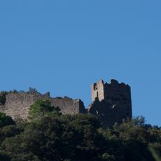
Château de Fressac
2.7 km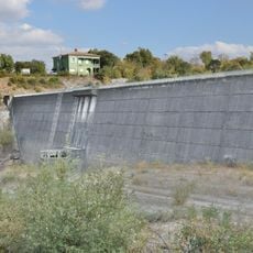
Barrage de Conqueyrac
4.6 km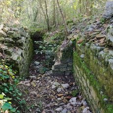
Oppidum de Mus
3.2 km
Abbaye de Tornac
4.5 km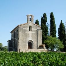
Église Saint-Baudile de Tornac
4.8 km
Église Saint-Félix de Saint-Félix-de-Pallières
4.1 km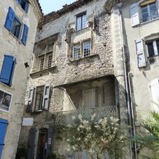
House known as the bishopric
5.4 km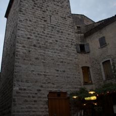
Tour de Môle
4.9 km
Église de Saint-Martin de Sossenac
1.6 km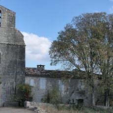
Conqueyrac St André church
5.3 km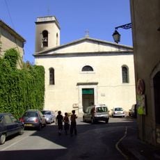
Église Saint Pierre, Sauve
5.4 km
Église Saint-André de Monoblet
5.3 km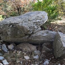
Dolmen du Col de l'Aubret
5 km
Château de Durfort
415 m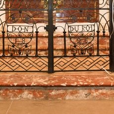
Liturgical fence of the St. Peter church in Sauve
5.4 km
Scenic viewpoint
4.7 km
Scenic viewpoint
3.8 km
Scenic viewpoint
5.4 km
Anciennes Mines
1.2 km
Ruins
555 m
Vieille bagnole
2.7 km
Monument aux morts
5.2 km
Memorial
5.4 km
Ancien château de Durfort
414 m
Wayside cross
5 km
Wayside cross
5.1 km
Oppidum préromain
5.3 km
Elephas meridionalis 1869
1.3 kmVisited this place? Tap the stars to rate it and share your experience / photos with the community! Try now! You can cancel it anytime.
Discover hidden gems everywhere you go!
From secret cafés to breathtaking viewpoints, skip the crowded tourist spots and find places that match your style. Our app makes it easy with voice search, smart filtering, route optimization, and insider tips from travelers worldwide. Download now for the complete mobile experience.

A unique approach to discovering new places❞
— Le Figaro
All the places worth exploring❞
— France Info
A tailor-made excursion in just a few clicks❞
— 20 Minutes