Catholic church building, wayside cross
Location: Roquefort-des-Corbières
GPS coordinates: 42.99254,2.94599
Latest update: November 28, 2025 16:44
Parc naturel régional de la Narbonnaise en Méditerranée
3.2 km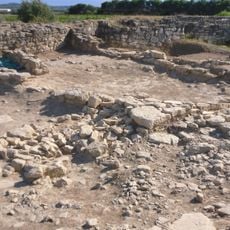
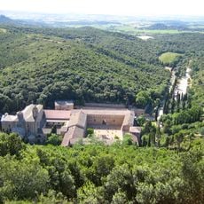
Pech Maho
6 km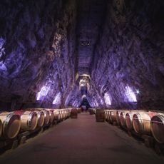
Terra Vinéa
6.7 km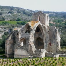
Église Notre-Dame-des-Oubiels
7.2 km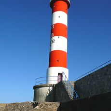
Phare de Port-la-Nouvelle
6.6 km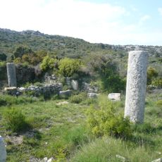
Bornes milliaires de Roquefort-des-Corbières
2.6 km
Jardin botanique de Foncaude
6.5 km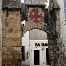
Porte de la Barbacane
4.2 km
Le Clapotis
5.4 km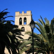
Église Saint-Jean de La Palme
4.1 km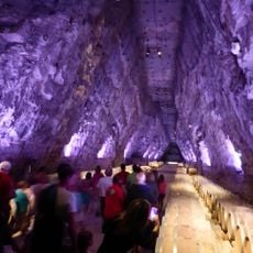
Terra Vinea
6.7 km
Musée des Corbières
4.9 km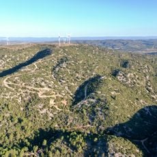
Plan du Pal
6.3 km
Orgue de tribune de l'église Saint-Félix de Sigean
4.9 km
Chapelle Saint-Pancrace de La Palme
4.9 km
Scenic viewpoint
18 m
Scenic viewpoint
6.9 km
Ancien Fort
5.8 km
Mural, Work of art
3.8 km
Salins de la Palme
6.5 km
Monument aux morts
684 m
Las Portes
5.5 km
Memorial, war memorial
4.5 km
Ruins
5.6 km
Ruins
2.2 km
Ruins
6 km
Memorial, war memorial
4.5 km
Memorial
4.6 kmVisited this place? Tap the stars to rate it and share your experience / photos with the community! Try now! You can cancel it anytime.
Discover hidden gems everywhere you go!
From secret cafés to breathtaking viewpoints, skip the crowded tourist spots and find places that match your style. Our app makes it easy with voice search, smart filtering, route optimization, and insider tips from travelers worldwide. Download now for the complete mobile experience.

A unique approach to discovering new places❞
— Le Figaro
All the places worth exploring❞
— France Info
A tailor-made excursion in just a few clicks❞
— 20 Minutes