Catholic church building, wayside cross
Location: Thouars-sur-Garonne
GPS coordinates: 44.25362,0.33453
Latest update: November 23, 2025 23:25
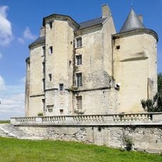
Château de Buzet-sur-Baïse
3.3 km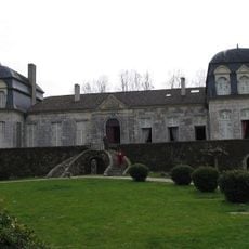
Château de Trenqueléon
4.9 km
Pont-canal sur la Baïse
2.2 km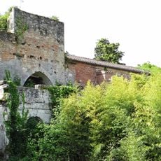
Prieuré du Paravis
4.3 km
Pile gallo-romaine de Saint-Pierre-de-Buzet
5 km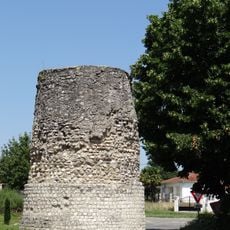
Tour de Tourasse
4 km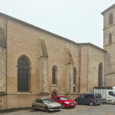
Église Saint-Vincent-du-Temple de Port-Sainte-Marie
4.9 km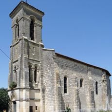
Église Saint-Côme d'Aiguillon
3.3 km
Château de Muges
4.8 km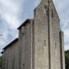
Église Saint-Pierre de Saint-Pierre-de-Buzet
4.8 km
Site protohistorique de Chastel
3.9 km
Pont du Paravis
4.1 km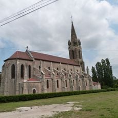
Église Notre-Dame de Buzet-sur-Baïse
3.1 km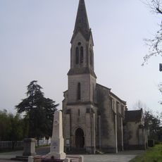
Église Saint-Léger de Saint-Léger
4.2 km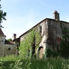
Prieuré Saint-Jean-de-l'Habit
4.3 km
Pont du moulin de Paravis
3.6 km
Monument aux Morts
2.6 km
Monument aux Patriotes
2.9 km
Château d'Espalays
2.9 km
War memorial, memorial
4.2 km
Catholic church building, wayside cross
3.1 km
Wayside cross
4.6 km
Monument aux Morts
3.6 km
Catholic church building, wayside cross
4.2 km
Memorial, stele
3.7 km
Ruins
2.3 km
Catholic church building, wayside cross
3.3 km
Catholic church building, wayside cross
4.9 kmVisited this place? Tap the stars to rate it and share your experience / photos with the community! Try now! You can cancel it anytime.
Discover hidden gems everywhere you go!
From secret cafés to breathtaking viewpoints, skip the crowded tourist spots and find places that match your style. Our app makes it easy with voice search, smart filtering, route optimization, and insider tips from travelers worldwide. Download now for the complete mobile experience.

A unique approach to discovering new places❞
— Le Figaro
All the places worth exploring❞
— France Info
A tailor-made excursion in just a few clicks❞
— 20 Minutes