Catholic church building, wayside cross
Location: Saint-André-d'Embrun
GPS coordinates: 44.58108,6.58769
Latest update: December 6, 2025 08:52
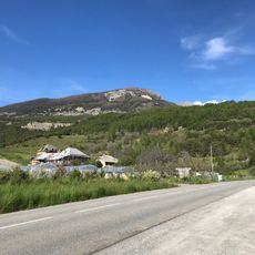
Le Méale
5.8 km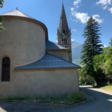
Église Saint-André de Saint-André-d'Embrun
4.3 km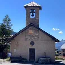
Chapelle Saint-Jean de la Chalp
4.5 km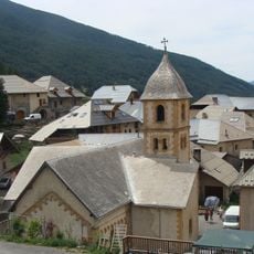
Église Saint-Marcellin de Crévoux
4.1 km
Pic du Clocher
3.2 km
Pic de Chabrières
4.5 km
Croix de Mission
4.3 km
Pic St-André
2.2 km
Pic de Crévoux
6 km
Scenic viewpoint
5.3 km
Belvedère de l'Ardoisière
2.8 km
Scenic viewpoint
4.6 km
Scenic viewpoint
4.4 km
Scenic viewpoint
6.2 km
Scenic viewpoint
3.5 km
Scenic viewpoint
6.1 km
Scenic viewpoint
6.2 km
Scenic viewpoint
6.1 km
Scenic viewpoint
4.2 km
L'Estang beach
5.6 km
Ruins
2 km
Ruins
2.1 km
Wayside cross
4.3 km
Wayside cross
4.4 km
Wayside cross
3.9 km
Wayside shrine
4.3 km
Wayside cross, Catholic church building
6.4 km
Wayside cross
3.9 kmVisited this place? Tap the stars to rate it and share your experience / photos with the community! Try now! You can cancel it anytime.
Discover hidden gems everywhere you go!
From secret cafés to breathtaking viewpoints, skip the crowded tourist spots and find places that match your style. Our app makes it easy with voice search, smart filtering, route optimization, and insider tips from travelers worldwide. Download now for the complete mobile experience.

A unique approach to discovering new places❞
— Le Figaro
All the places worth exploring❞
— France Info
A tailor-made excursion in just a few clicks❞
— 20 Minutes