Wayside cross
Location: Saint-Étienne-de-Baïgorry
GPS coordinates: 43.15378,-1.33424
Latest update: November 20, 2025 03:08
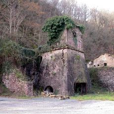
Mines de cuivre de Banca
4.2 km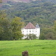
Château d'Etchaux
2.8 km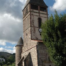
Église de Saint-Étienne-de-Baïgorry
2.6 km
Forge d'Etchauz
1.9 km
Oilarandoi
77 m
Munhogain
1.6 km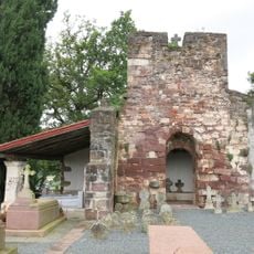
Chapelle Saint-Vincent d'Irouléguy
4.2 km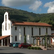
Église Saint-Vincent d'Irouléguy
3.8 km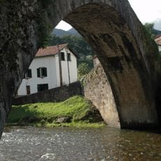
Baigorriko erromatar zubia
2.7 km
Arrolako Harria
3.7 km
Urdiako Harria
2.8 km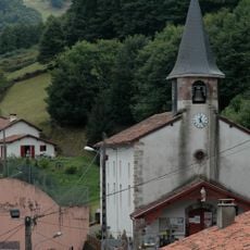
Église Saint-Pierre de Banca
4.6 km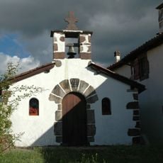
Chapelle Saint-Sauveur d'Occos
3.2 km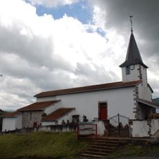
Église Saint-Jean-Baptiste d'Anhaux
3.9 km
Bortzerreketa
4.3 km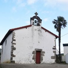
Chapelle de Saint-Laurent de Guermiette
2.4 km
Pic de Béharia
3.3 km
Pic d'Adarça
4.6 km
Table d'Orientation
74 m
Oronozia
2.6 km
Scenic viewpoint
2.8 km
Table d'Orientation
3.3 km
Monument aux Morts
2.7 km
Archaeological site
4.5 km
Wayside cross
2.8 km
Wayside cross
2.6 km
Arrolako Harriaren Gudea
3.6 km
Wayside cross
4.4 kmReviews
Visited this place? Tap the stars to rate it and share your experience / photos with the community! Try now! You can cancel it anytime.
Discover hidden gems everywhere you go!
From secret cafés to breathtaking viewpoints, skip the crowded tourist spots and find places that match your style. Our app makes it easy with voice search, smart filtering, route optimization, and insider tips from travelers worldwide. Download now for the complete mobile experience.

A unique approach to discovering new places❞
— Le Figaro
All the places worth exploring❞
— France Info
A tailor-made excursion in just a few clicks❞
— 20 Minutes