Wayside cross
Location: Saint-Cirgues-en-Montagne
GPS coordinates: 44.75714,4.09306
Latest update: November 12, 2025 14:06
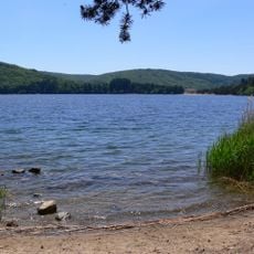
Lac d'Issarlès
7 km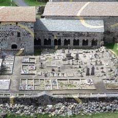
Mazan Abbey
3.2 km
Suc de Bauzon
4.7 km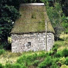
Moulin de Cassonié
3.2 km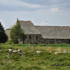
Ferme Reynaud
6.8 km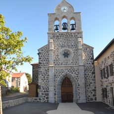
Église Saint Michel d'Issanlas
6.5 km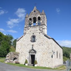
Notre-Dame-de-l'Assomption
3.2 km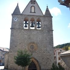
Église Saint-Cyr de Saint-Cirgues-en-Montagne
243 m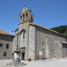
Église Saint-Blaise de Rieutord
5.5 km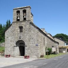
Église Saint-Blaise d'Usclades
5.5 km
Ferme de La Besse
5.8 km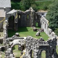
Abbatiale de Mazan-l'Abbaye
3.1 km
Scenic viewpoint
6.1 km
Scenic viewpoint
5.9 km
Belvédère
5.8 km
Toposcope, scenic viewpoint
4.9 km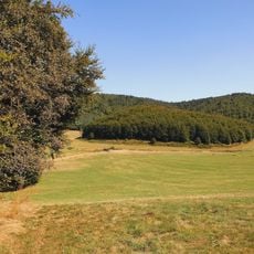
Cratère de la Vestide du Pal
6.3 km
Wayside cross
6.4 km
Statue de la Vierge
5.5 km
Parc du Chien Nordique
4.8 km
Wayside cross
1.8 km
Wayside cross
5.5 km
Forestier C.
6.4 km
Catholic church building, wayside cross
237 m
Monument aux morts
5.7 km
Monument
2.6 km
Calvaire
4.6 km
Wayside cross
3.2 kmReviews
Visited this place? Tap the stars to rate it and share your experience / photos with the community! Try now! You can cancel it anytime.
Discover hidden gems everywhere you go!
From secret cafés to breathtaking viewpoints, skip the crowded tourist spots and find places that match your style. Our app makes it easy with voice search, smart filtering, route optimization, and insider tips from travelers worldwide. Download now for the complete mobile experience.

A unique approach to discovering new places❞
— Le Figaro
All the places worth exploring❞
— France Info
A tailor-made excursion in just a few clicks❞
— 20 Minutes