Wayside cross, Catholic church building
Location: La Laupie
Inception: January 1, 1846
GPS coordinates: 44.60134,4.84533
Latest update: December 4, 2025 11:48
Porte du soleil
4 km
Villa Sestier
2 km
Abbaye Sainte-Anne de Bonlieu-sur-Roubion
2.9 km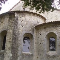
Église Saint-Marcel de Saint-Marcel-lès-Sauzet
3.2 km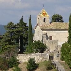
Chapelle Saint-Michel, La Laupie
365 m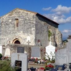
Chapelle Saint-Andéol de La Bâtie-Rolland
4.5 km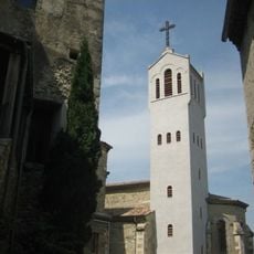
Église Saint-Gervais de Saint-Gervais-sur-Roubion
4.1 km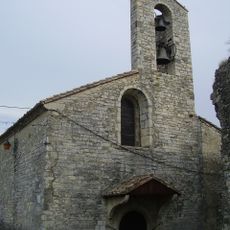
Église Saint-Lambert de Sauzet
2.1 km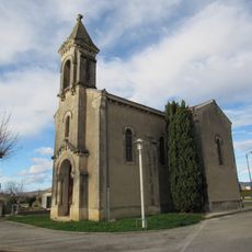
Église de la Sainte-Vierge de Bonlieu-sur-Roubion
2.9 km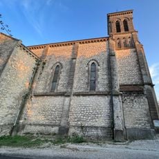
Église Notre-Dame-de-l'Assomption de Savasse
5 km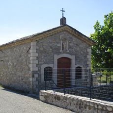
Chapelle de Saint-Gervais-sur-Roubion
4.2 km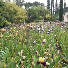
Iris 26
5.1 km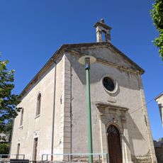
Temple de Sauzet
2 km
Scenic viewpoint
2.2 km
Scenic viewpoint
2.1 km
Scenic viewpoint
4.8 km
Scenic viewpoint
2.1 km
Château de Sauzet
2.2 km
Monument aux Morts
1.9 km
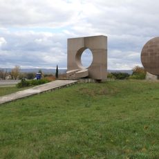
Mémorial Dauphiné
2.2 km
CRA
2.2 km
Ruins
2.1 km
War memorial, memorial
4.2 km
Wayside cross
2.1 km
Memorial, commemorative plaque
4.5 km
Memorial
2.2 km
Wayside cross
1.7 km
Wayside cross
5 kmVisited this place? Tap the stars to rate it and share your experience / photos with the community! Try now! You can cancel it anytime.
Discover hidden gems everywhere you go!
From secret cafés to breathtaking viewpoints, skip the crowded tourist spots and find places that match your style. Our app makes it easy with voice search, smart filtering, route optimization, and insider tips from travelers worldwide. Download now for the complete mobile experience.

A unique approach to discovering new places❞
— Le Figaro
All the places worth exploring❞
— France Info
A tailor-made excursion in just a few clicks❞
— 20 Minutes