Catholic church building, wayside cross
Location: Les Baux-de-Provence
GPS coordinates: 43.74277,4.79456
Latest update: November 17, 2025 23:12
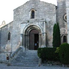
Église Saint-Vincent des Baux
94 m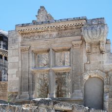
Hôtel de Manville
115 m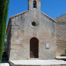
Chapelle Saint-Blaise des Baux-de-Provence
12 m
Musée d'histoire et d'archéologie des Baux-de-Provence
111 m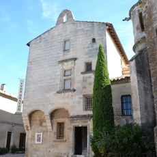
Hôtel des Porcelets
102 m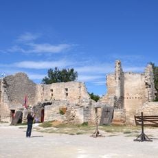
Former Quiqueran hospice
85 m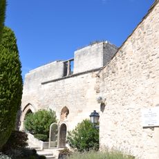
Maison de la Tour de Braü
23 m
Musée-fondation Louis-Jou
142 m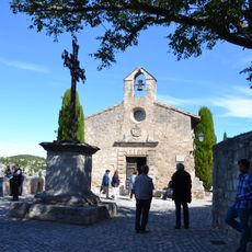
Chapelle des Pénitents blancs
100 m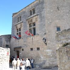
Hôtel de ville des Baux-de-Provence
133 m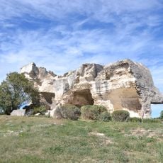
Baumes de Roucas
94 m
Scenic viewpoint
152 m
Scenic viewpoint
84 m
Scenic viewpoint
92 m
Scenic viewpoint
132 m
Scenic viewpoint
98 m
Scenic viewpoint
102 m
Scenic viewpoint
85 m
Logis de Brisson-Peyre
125 m
Esplanade du château
58 m
Hôtel de la tour du Brau
46 m
Place Prince Rainier III de Monaco
108 m
Plan dallé
124 m
Fenêtre Renaissance
117 m
Bélier
105 m
Scenic viewpoint
91 m
Catholic church building, wayside cross
144 m
La Vierge Noire
133 mReviews
Visited this place? Tap the stars to rate it and share your experience / photos with the community! Try now! You can cancel it anytime.
Discover hidden gems everywhere you go!
From secret cafés to breathtaking viewpoints, skip the crowded tourist spots and find places that match your style. Our app makes it easy with voice search, smart filtering, route optimization, and insider tips from travelers worldwide. Download now for the complete mobile experience.

A unique approach to discovering new places❞
— Le Figaro
All the places worth exploring❞
— France Info
A tailor-made excursion in just a few clicks❞
— 20 Minutes