Catholic church building, wayside cross
Location: Fargues-sur-Ourbise
GPS coordinates: 44.23536,0.18208
Latest update: November 29, 2025 11:12
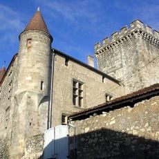
Château de Xaintrailles
6.7 km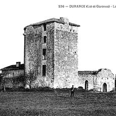
Commanderie de la tour d'Avance
4.6 km
Château d'Ambrus
5.2 km
Allées funéraires de Lumé
4.2 km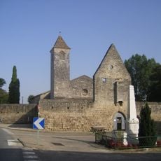
Église de Fargues-sur-Ourbise
2.2 km
Allée funéraire de Cabeil
6.4 km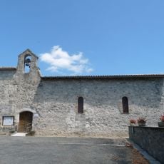
Église Saint-Pierre de Pompiey
6.1 km
Église Saint-Eutrope de Couthures
6.7 km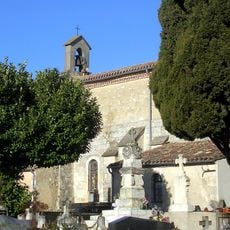
Église Saint-Jean-Baptiste de Xaintrailles
7.1 km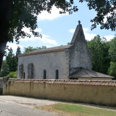
Église Saint-Pierre de Caubeyres
3.1 km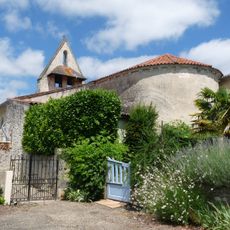
Église Sainte-Radegonde-et-Sainte-Christine d'Anzex
5.6 km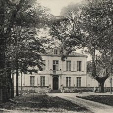
Château de Guillery
6.9 km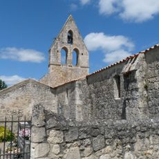
Église Saint-Julien de Saint-Julien
199 m
Allée funéraire n°1 de Lumé
4.2 km
Catholic church building, wayside cross
2.8 km
Wayside cross, Catholic church building
7 km
Monument aux Morts
7 km
Monument aux Morts
2.3 km
Memorial
4.3 km
Allée couverte de Caubeyres (ruine)
2.8 km
Monument aux Morts
6.1 km
Allée Couverte de Cranté
2.2 km
Château de Caubeyres
3.5 km
Monument aux Morts
3 km
Tumulus de Lamothe
6.1 km
Catholic church building, wayside cross
5.9 km
Menhir de Roudès, Pierre de la Gageante
1.7 km
Allée couverte de choisy n 2
6.7 kmReviews
Visited this place? Tap the stars to rate it and share your experience / photos with the community! Try now! You can cancel it anytime.
Discover hidden gems everywhere you go!
From secret cafés to breathtaking viewpoints, skip the crowded tourist spots and find places that match your style. Our app makes it easy with voice search, smart filtering, route optimization, and insider tips from travelers worldwide. Download now for the complete mobile experience.

A unique approach to discovering new places❞
— Le Figaro
All the places worth exploring❞
— France Info
A tailor-made excursion in just a few clicks❞
— 20 Minutes