Wayside cross
Location: Saint-Étienne-de-Boulogne
GPS coordinates: 44.70127,4.45822
Latest update: November 12, 2025 22:21
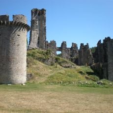
Château de Boulogne
1.9 km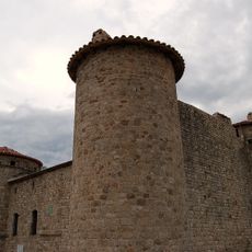
Château de Craux
6.8 km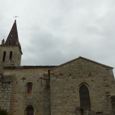
Église Saint-Julien de Saint-Julien-du-Serre
6.2 km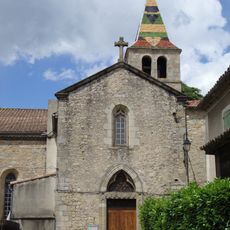
Église Saint-Pierre-aux-Liens de Vesseaux
5.7 km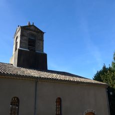
Église Sainte-Marie de Genestelle
5.6 km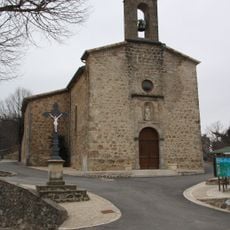
Église de Saint-Joseph-des-Bancs
5.4 km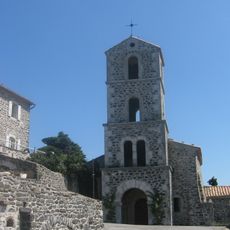
Église Saint-Laurent de Saint-Laurent-sous-Coiron
7.3 km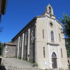
Église Saint-Arconce de Darbres
7 km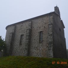
Église Notre-Dame de Greytus
6.1 km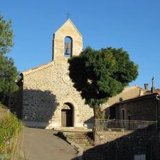
Église de l'Assomption de Freyssenet
6.9 km
Mont Champ
7.1 km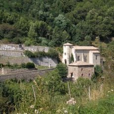
Église Saint-Martin de Gourdon
3.5 km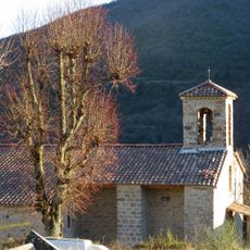
Église Saint-Priest de Saint-Priest
7 km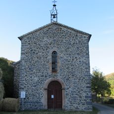
Chapelle Notre-Dame-de-l'Espérance de Pramailhet
3.3 km
Toposcope, scenic viewpoint
4.1 km
Toposcope, scenic viewpoint
6.4 km
Scenic viewpoint
3.4 km
La maison du patrimoine
5.7 km
Work of art
2.8 km
Croix de Valmos
6.4 km
Ruins
5.8 km
Catholic church building, wayside cross
2.1 km
Wayside cross
4.6 km
Dolmen du Devès de Serre
6.3 km
Menhir de Peyregrosse
5 km
Stele, memorial
3.2 km
Wayside cross
5.8 km
Wayside cross
5.4 kmReviews
Visited this place? Tap the stars to rate it and share your experience / photos with the community! Try now! You can cancel it anytime.
Discover hidden gems everywhere you go!
From secret cafés to breathtaking viewpoints, skip the crowded tourist spots and find places that match your style. Our app makes it easy with voice search, smart filtering, route optimization, and insider tips from travelers worldwide. Download now for the complete mobile experience.

A unique approach to discovering new places❞
— Le Figaro
All the places worth exploring❞
— France Info
A tailor-made excursion in just a few clicks❞
— 20 Minutes