High water mark
Location: Aubevoye
Location: Le Val d'Hazey
Inception: January 1, 1945
Inscription: Crue Février 1945
GPS coordinates: 49.17832,1.35316
Latest update: November 11, 2025 03:02
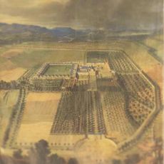
Chartreuse d'Aubevoye
816 m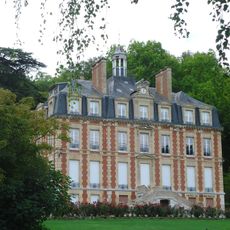
Château de Tournebut
1.8 km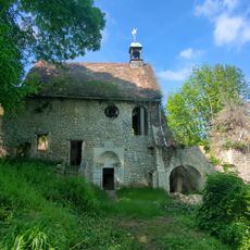
Chapelle de Bethléem
2 km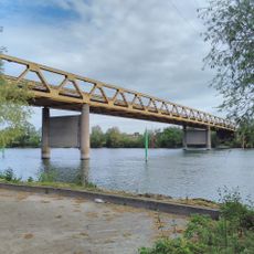
Courcelles-sur-Seine bridge
101 m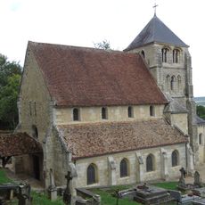
Église Saint-Georges d'Aubevoye
2.1 km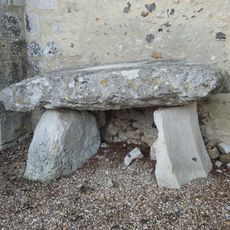
Dolmen d'Aubevoye
2.1 km
Golf de Gaillon
1.7 km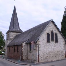
Église Notre-Dame-de-Bon-Secours de Courcelles-sur-Seine
632 m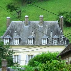
Grosmesnil Manor
1.7 km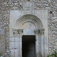
Crypt of the Bethleem chapel
2 km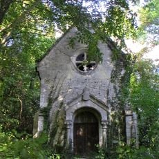
Chapelle Notre-Dame du Manoir de Tournebut
1.8 km
Scenic viewpoint
1.8 km
Stele, memorial
311 m
Tomb
1.8 km
Les Oiseaux
1.9 km
Wayside cross
1.7 km
Marquise de Combray
2 km
Wayside cross
1.9 km
Memorial, commemorative plaque
405 m
Memorial, war memorial
1.3 km
Tomb
1.7 km
Croix des Champs
1.6 km
Memorial, commemorative plaque
420 m
Memorial, commemorative plaque
420 m
Memorial, commemorative plaque
562 m
Memorial
1.3 km
Memorial, commemorative plaque
465 m
Memorial, war memorial
640 mReviews
Visited this place? Tap the stars to rate it and share your experience / photos with the community! Try now! You can cancel it anytime.
Discover hidden gems everywhere you go!
From secret cafés to breathtaking viewpoints, skip the crowded tourist spots and find places that match your style. Our app makes it easy with voice search, smart filtering, route optimization, and insider tips from travelers worldwide. Download now for the complete mobile experience.

A unique approach to discovering new places❞
— Le Figaro
All the places worth exploring❞
— France Info
A tailor-made excursion in just a few clicks❞
— 20 Minutes