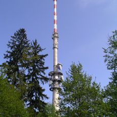
Hohe Linie transmitter
1 km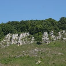
Am Keilstein
1.8 km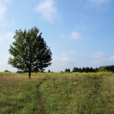
Brandlberg
1.3 km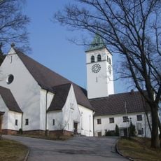
St. Michael
636 m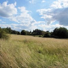
Südöstliche Juraausläufer bei Regensburg
1 km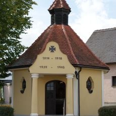
Kriegergedächtniskapelle
967 m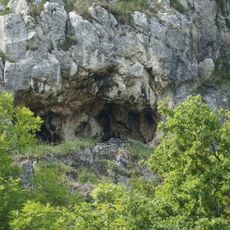
Höhle am Keilstein NE von Schwabelweis
1.8 km
Cultural heritage D-3-6938-0557 in Wenzenbach
1.6 km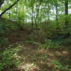
Große Doline Schauergrube W von Vorderkeilberg
978 m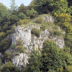
Felsgruppe am SW-Teil des Keilbergs N von Schwabelweis
1.9 km
Cultural heritage D-3-6938-1018 in Tegernheim
1.8 km
Cultural heritage D-3-6938-0558 in Wenzenbach
404 m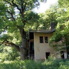
Ehemaliges Wirtshaus
1.7 km
Wayside cross
1.1 km
Scenic viewpoint
1.8 km
Denkmal 1. und 2. Weltkrieg
660 m
Ruins
1.6 km
Überreste des ehem. RAD-Lager "Freiherr von der Tann"
1.2 km
Keilsteiner Hang
1.7 km
Ehemaliger Minigolfplatz
1.8 km
Scenic viewpoint
1.6 km
Denkmal 1. und 2. Weltkrieg
956 m
Scenic viewpoint
1.8 km
Scenic viewpoint
1.8 km
Wayside cross
1.1 km
Wayside cross
924 m
Wayside cross
1.9 km
Scenic viewpoint
1.9 kmReviews
Visited this place? Tap the stars to rate it and share your experience / photos with the community! Try now! You can cancel it anytime.
Discover hidden gems everywhere you go!
From secret cafés to breathtaking viewpoints, skip the crowded tourist spots and find places that match your style. Our app makes it easy with voice search, smart filtering, route optimization, and insider tips from travelers worldwide. Download now for the complete mobile experience.

A unique approach to discovering new places❞
— Le Figaro
All the places worth exploring❞
— France Info
A tailor-made excursion in just a few clicks❞
— 20 Minutes