High water mark
Location: Bezirk Mitte
Location: Saarbrücken
Inscription: WASSERSTAND|13. MAI 1970
GPS coordinates: 49.23139,6.99294
Latest update: November 20, 2025 03:43
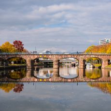
Alte Brücke
37 m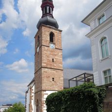
Schlosskirche
105 m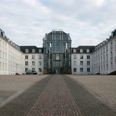
The Square Of The Invisible Monument
141 m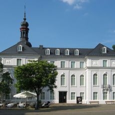
Museum für Vor- und Frühgeschichte
130 m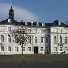
Museum am Schlossplatz
130 m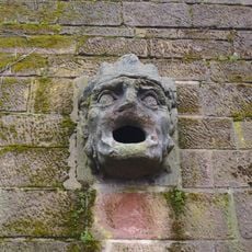
Der geizige Bäcker
76 m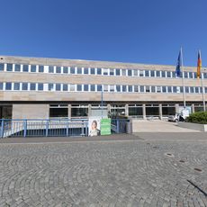
Ministry of Finance Saarbrücken
119 m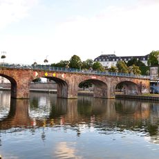
Alte Brücke
59 m
Museum in der Schlosskirche des Saarlandmuseums
105 m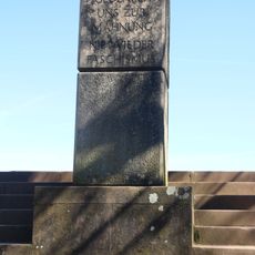
Gedenkstein für die Opfer des Faschismus
64 m
Scenic viewpoint, dead end street
108 m
Scenic viewpoint
126 m
Brammenhort
112 m
Der Schutz der letzten Ozeane
137 m
Brunnenhaus
139 m
Dead end street, scenic viewpoint
57 m
Dead end street, scenic viewpoint
94 m
Scenic viewpoint
64 m
Scenic viewpoint
137 m
Phönix aus der Asche
68 m
Dead end street, scenic viewpoint
56 m
Scenic viewpoint
110 m
Scenic viewpoint
117 m
Scenic viewpoint
55 m
Scenic viewpoint
95 m
Die Feierey
115 m
Erste Saarbrücker Bekenntnissynode
104 m
Alte Post
94 mReviews
Visited this place? Tap the stars to rate it and share your experience / photos with the community! Try now! You can cancel it anytime.
Discover hidden gems everywhere you go!
From secret cafés to breathtaking viewpoints, skip the crowded tourist spots and find places that match your style. Our app makes it easy with voice search, smart filtering, route optimization, and insider tips from travelers worldwide. Download now for the complete mobile experience.

A unique approach to discovering new places❞
— Le Figaro
All the places worth exploring❞
— France Info
A tailor-made excursion in just a few clicks❞
— 20 Minutes