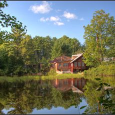
Daniel Cragin Mill
4.2 km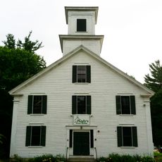
Andy's Summer Playhouse
3.2 km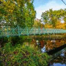
Milford Suspension Bridge
7.8 km
Wilton Town Hall Theatre
315 m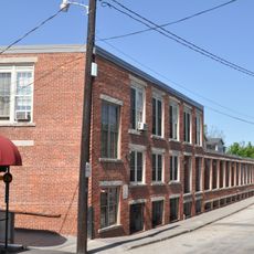
Milford Cotton and Woolen Manufacturing Company
7.5 km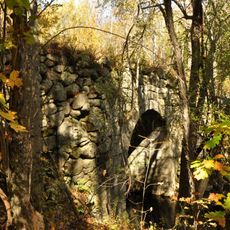
County Farm Bridge
6.4 km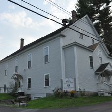
Citizens' Hall
5.4 km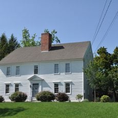
William Peabody House
6.2 km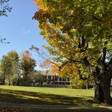
Oliver Whiting Homestead
6.8 km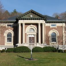
Wilton Public and Gregg Free Library
342 m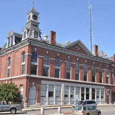
Milford Town House and Library Annex
7.5 km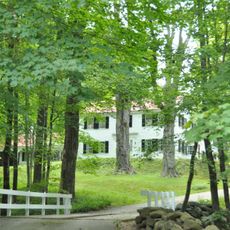
Hamblet-Putnam-Frye House
4.3 km
King Brook Reservoir
7.7 km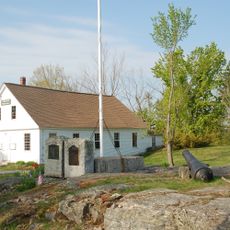
Lyndeborough Center Historic District
7.4 km
Pratt Pond
6.6 km
Greenville Reservoir
9 km
New Wilton Reservoir
2.4 km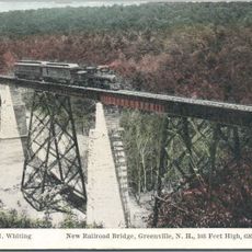
Great Trestle
8.9 km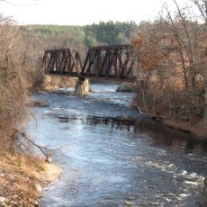
MBRX Souhegan River Bridge
242 m
Osgood Pond
6.7 km
Stone-cutting Shed Amphitheater
7.1 km
Statue, Work of art
7.6 km
Scenic viewpoint
2.8 km
Waterfall
2.2 km
Purgatory Lower Falls
3.8 km
Upper Falls
5.6 km
Middle Falls
5.3 km
Waterfall
3.2 kmReviews
Visited this place? Tap the stars to rate it and share your experience / photos with the community! Try now! You can cancel it anytime.
Discover hidden gems everywhere you go!
From secret cafés to breathtaking viewpoints, skip the crowded tourist spots and find places that match your style. Our app makes it easy with voice search, smart filtering, route optimization, and insider tips from travelers worldwide. Download now for the complete mobile experience.

A unique approach to discovering new places❞
— Le Figaro
All the places worth exploring❞
— France Info
A tailor-made excursion in just a few clicks❞
— 20 Minutes