
Bryant Pond
10.9 km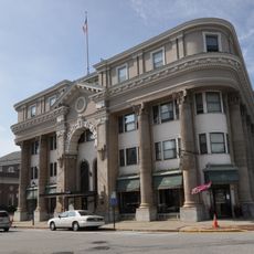
Strathglass Building
14.1 km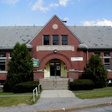
Rumford Public Library
14.3 km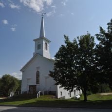
First Universalist Society of West Sumner
8.1 km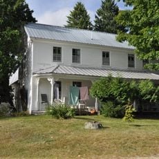
Stearns Hill Farm
11.9 km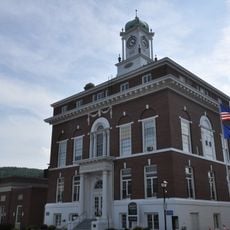
Rumford Municipal Building
14.2 km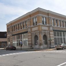
Rumford Falls Power Company Building
14 km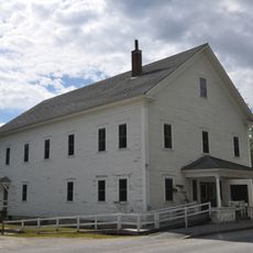
Former Greenwood Town Hall
14.2 km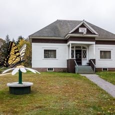
Whitman Memorial Library
10.2 km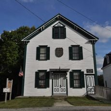
West Paris Lodge No. 15, I.O.O.F.
11 km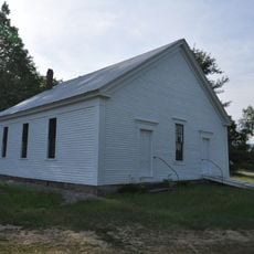
Lower Meeting House and East Bethel Cemetery
16.1 km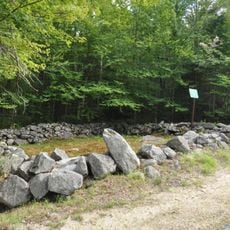
Greenwood Cattle Pound
14.7 km
Arthur L. Mann Memorial Library
11.1 km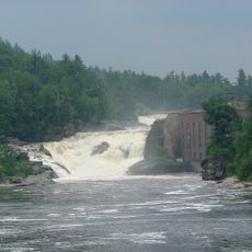
Rumford Falls
13.3 km
Androscoggin River Reservoir
13.2 km
Twitchell Pond
13.9 km
Whittemore Bluff
14.2 km
Hicks Pond
15.7 km
Payne Ledge
13.5 km
Goss Ledge
14.2 km
Pauls Bluff
15.5 km
Shaw Ledge
15.1 km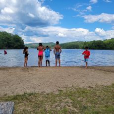
Greenwood Town Beach
13.3 km
North Pond
15.3 km
Bucks Ledge
10.7 km
49 Franklin Reception Hall and Mystic Theater
14.2 km
Paul Bunyan & Babe the Blue Ox
13.8 km
Scenic viewpoint
13 kmReviews
Visited this place? Tap the stars to rate it and share your experience / photos with the community! Try now! You can cancel it anytime.
Discover hidden gems everywhere you go!
From secret cafés to breathtaking viewpoints, skip the crowded tourist spots and find places that match your style. Our app makes it easy with voice search, smart filtering, route optimization, and insider tips from travelers worldwide. Download now for the complete mobile experience.

A unique approach to discovering new places❞
— Le Figaro
All the places worth exploring❞
— France Info
A tailor-made excursion in just a few clicks❞
— 20 Minutes