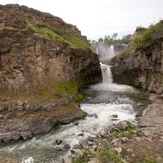
White River Falls State Park
4.8 km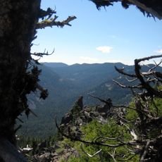
Badger Creek Wilderness
34.7 km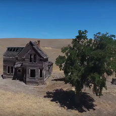
Charles E. Nelson House
31.7 km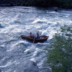
Boxcar Rapids
12.8 km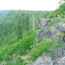
Lower White River Wilderness
34.7 km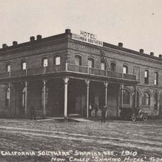
Shaniko Hotel
36.1 km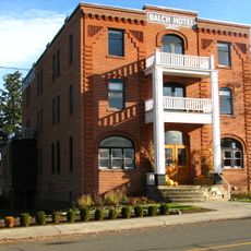
Balch Hotel
22.7 km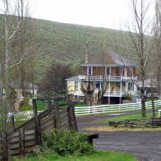
Imperial Stock Ranch Headquarters Complex
26.4 km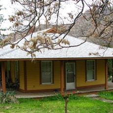
Maupin Section Foreman's House
10.5 km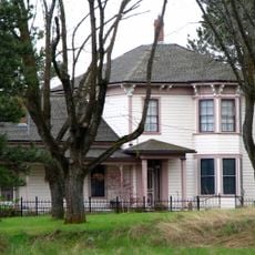
John and Helen Moore House
30.7 km
Sherars Falls
180 m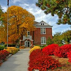
Sherman County Courthouse
29.2 km
Borstel Pond
24.3 km
Rock Creek Reservoir
27.5 km
Badger Creek Trail
31.8 km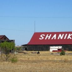
Shaniko Historic District
36.1 km
Shaniko Historic Historic Stage Coach Stop
36.1 km
Fivemile Butte Lookout
37.7 km
Scenic viewpoint
30.5 km
Scenic viewpoint
4.8 km
Scenic viewpoint
24.5 km
Scenic viewpoint
11.7 km
Scenic viewpoint
36.8 km
West Point
34.4 km
White River Falls
4.8 km
Waterfall
23.8 km
Celestial Falls
4.8 km
Lower White River Falls
4.6 kmReviews
Visited this place? Tap the stars to rate it and share your experience / photos with the community! Try now! You can cancel it anytime.
Discover hidden gems everywhere you go!
From secret cafés to breathtaking viewpoints, skip the crowded tourist spots and find places that match your style. Our app makes it easy with voice search, smart filtering, route optimization, and insider tips from travelers worldwide. Download now for the complete mobile experience.

A unique approach to discovering new places❞
— Le Figaro
All the places worth exploring❞
— France Info
A tailor-made excursion in just a few clicks❞
— 20 Minutes