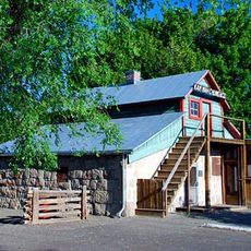
Kam Wah Chung Company Building
10.7 km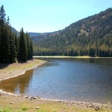
Strawberry Mountain Wilderness
28.4 km
James Cant Ranch
46 km
Clyde Holliday State Recreation Site
3.9 km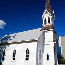
Advent Christian Church
11 km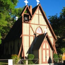
St. Thomas' Episcopal Church
13.1 km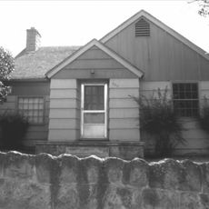
Supervisor's House No. 1001
11.3 km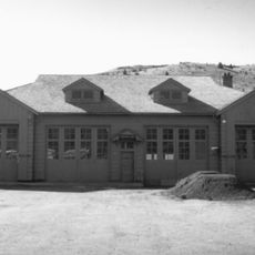
John Day Compound
10.5 km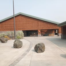
Thomas Condon Paleontology Center
46.1 km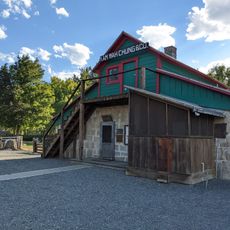
Kam Wah Chung State Heritage Site
10.7 km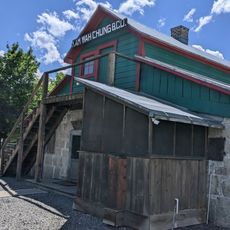
Kam Wah Chung Chinese Heritage Site
10.9 km
Coyote Bluff
40.2 km
Emergency Point
10.2 km
Waterfall
34.3 km
Mascall Overlook
43.1 km
John Day Golf Club
7.9 km
Strawberry Falls
35.6 km
Scenic viewpoint
35.6 km
Scenic viewpoint
36.2 km
Blue Basin Overlook
45.1 km
Scenic viewpoint
36.3 km
Black Canyon Trailhead
40.5 km
Fall Mountain Lookout
17.9 km
Silvies Ranch
44.4 km
Waterfall
34 km
Blue Basin
45.5 km
Scenic viewpoint
45.8 km
Scenic viewpoint
10.2 kmReviews
Visited this place? Tap the stars to rate it and share your experience / photos with the community! Try now! You can cancel it anytime.
Discover hidden gems everywhere you go!
From secret cafés to breathtaking viewpoints, skip the crowded tourist spots and find places that match your style. Our app makes it easy with voice search, smart filtering, route optimization, and insider tips from travelers worldwide. Download now for the complete mobile experience.

A unique approach to discovering new places❞
— Le Figaro
All the places worth exploring❞
— France Info
A tailor-made excursion in just a few clicks❞
— 20 Minutes