Chest opened
+${chestReward.xp} XP
Explorer
NOUVEAU ×${chestReward.collectible.quantity}
tapez pour fermer

See the monuments around you in AR Open chests in the app

Around Us is built for your phone — point your camera at the streets and discover the monuments and places around you in augmented reality. Around Us is built for your phone — chests unlock when you walk, explore and capture nearby places.

Enable Location

We need your location to show you interesting places around you

Discover nearby places

Find interesting locations and hidden gems around you

Precise directions

Get accurate directions and distances to places

Your location is never shared with other users. It's only used when you tap the location button.

James Cant Ranch

Log in to your account

Start exploring — it's free

Trusted by 85,594 travelers worldwide

Continue with Google
Continue with Apple
or

We will send you a code to connect

By continuing, you accept our Terms and Conditions and our Privacy Policy

Check your inbox

We've sent a pincode in your inbox. Please enter the code below.

Discussion Reviews 1 Photos
2.7k Popularity

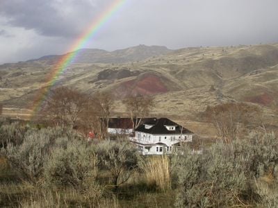
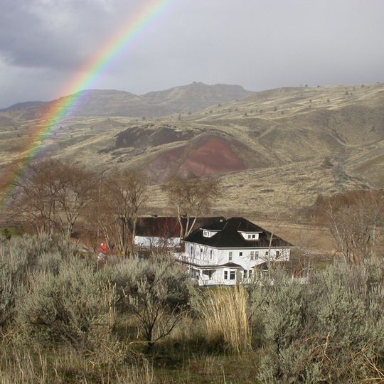
James Cant Ranch, Historic ranch in Dayville, United States.

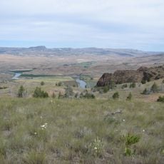
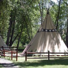
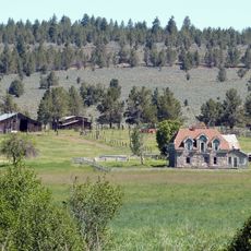
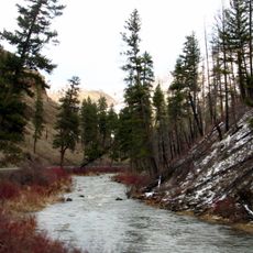
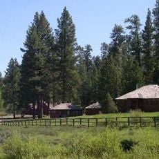
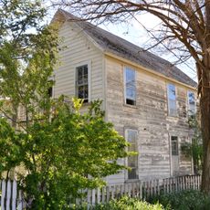
James Cant Ranch is a historic property straddling both sides of the John Day River near Dayville. The complex includes a multi-story residence, a large barn, workers' quarters, and various support buildings for agricultural operations.

The property began as a homestead in 1890 and was purchased by Scottish immigrant James Cant in 1910. He expanded it into a major farming operation that became known throughout the region.

The ranch demonstrates how people adapted their operations to different types of livestock over time. Visitors can observe the practical layout and structures that supported these changing farming methods.

The site is managed by the National Park Service and open for visitors to walk through. The buildings and equipment are preserved to show how ranch operations functioned in that era.

The main barn contained specialized areas designed for different farm animals in separate sections. This clever layout allowed the operation to raise and manage multiple types of livestock efficiently.

The community of curious travelers

AroundUs brings together thousands of curated places, local tips, and hidden gems, enriched daily by 60,000 contributors worldwide.
Start exploring
Location
GPS coordinates
44.55570,-119.64500
Latest update
August 30, 2026 13:04
Around this place
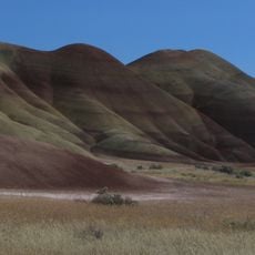
Painted Hills
United States of America

Painted Hills

31.8 mi
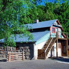
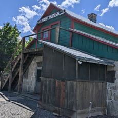
Kam Wah Chung Company Building
United States of America

Kam Wah Chung Company Building

35.3 mi
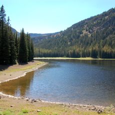
Strawberry Mountain Wilderness
United States of America

Strawberry Mountain Wilderness

45.6 mi
Bridge Creek Wilderness
United States of America

Bridge Creek Wilderness

29.1 mi
Black Canyon Wilderness
United States of America

Black Canyon Wilderness

15.1 mi
Mill Creek Wilderness
United States of America

Mill Creek Wilderness

43.8 mi
Spring Basin Wilderness
United States of America

Spring Basin Wilderness

44.1 mi
Clyde Holliday State Recreation Site
United States of America

Clyde Holliday State Recreation Site

29.1 mi
Dyer State Wayside
United States of America

Dyer State Wayside

47.5 mi
Bridge Creek Wildlife Area
United States of America

Bridge Creek Wildlife Area

48.5 mi
Roba Ranch
United States of America

Roba Ranch

28.8 mi
Ukiah–Dale Forest State Scenic Corridor
United States of America

Ukiah–Dale Forest State Scenic Corridor

51.4 mi
Antelope Flat Reservoir
United States of America

Antelope Flat Reservoir

53.2 mi
Advent Christian Church
United States of America

Advent Christian Church

35.4 mi
Thomas Benton Hoover House
United States of America

Thomas Benton Hoover House

41.5 mi
Morrow County Courthouse
United States of America

Morrow County Courthouse

55.4 mi
Allison Ranger Station
United States of America

Allison Ranger Station

44.1 mi
St. Thomas' Episcopal Church
United States of America

St. Thomas' Episcopal Church

36.4 mi
S. B. Barker Building
United States of America

S. B. Barker Building

53.9 mi
Supervisor's House No. 1001
United States of America

Supervisor's House No. 1001

35.6 mi
Fossil Public School
United States of America

Fossil Public School

41.5 mi
John Day Compound
United States of America

John Day Compound

35.1 mi
Silas A. Rice Log House
United States of America

Silas A. Rice Log House

54.2 mi
Heppner Library-Museum
United States of America

Heppner Library-Museum

55.6 mi
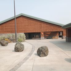
Thomas Condon Paleontology Center
United States of America

Thomas Condon Paleontology Center

0.2 mi
Kam Wah Chung State Heritage Site
United States of America

Kam Wah Chung State Heritage Site

35.3 mi
Kam Wah Chung Chinese Heritage Site
United States of America

Kam Wah Chung Chinese Heritage Site

35.4 mi
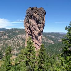
Stein's Pillar
United States of America

Stein's Pillar

49.1 mi
Show the full map
Reviews
Share your experience

No review yet

Discussions
Start a discussion...

No discussion yet

« James Cant Ranch - Historic ranch in Dayville, United States » is provided by Around Us (aroundus.com). Images and texts are derived from Wikimedia project under a Creative Commons license. You are allowed to copy, distribute, and modify copies of this page, under the conditions set by the license, as long as this note is clearly visible.

Discover hidden gems everywhere you go!

From secret cafés to breathtaking viewpoints, skip the crowded tourist spots and find places that match your style. Our app makes it easy with voice search, smart filtering, route optimization, and insider tips from travelers worldwide. Download now for the complete mobile experience.
Around Us App Screenshot

A unique approach to discovering new places

Le Figaro

All the places worth exploring

France Info

A tailor-made excursion in just a few clicks

20 Minutes

Around Us
Travel Guide & Maps
Download

Send to your phone

QR Code
1

Open the camera app on your mobile.

2

Point at the QR code with your camera. A notification will appear.

3

Tap the notification to open the link.