Grant County

Log in to your account

AroundUs is a community-driven map of interesting places, built by curious explorers like you. It grows with every review, story, and photo you share.
Connect to save your favorite spots, contribute locations, and create personalized routes.
By continuing, you accept our Terms and Conditions and our Privacy Policy
Add to collection
Map
Suggest a change
Share

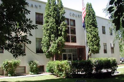
Grant County, County seat and administrative center in Eastern Oregon, United States.

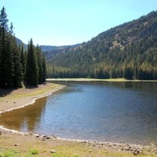
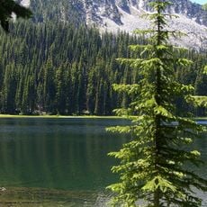
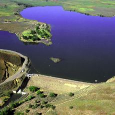
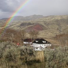
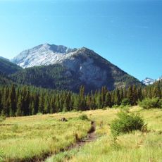
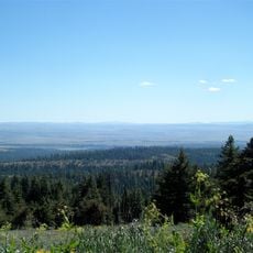
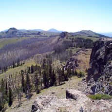
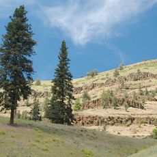
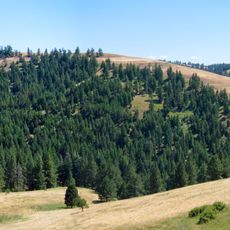
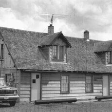
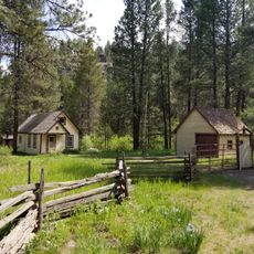
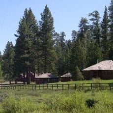
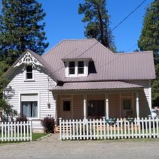
Grant County is an administrative division in Eastern Oregon with Canyon City serving as its county seat. The region spans across mountains, valleys, and the John Day River system, offering a mix of natural landscapes and small-town character.

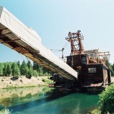
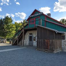
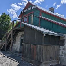
The region experienced rapid growth after gold was discovered in Canyon Creek in 1862, drawing thousands of prospectors to the area. This gold rush era shaped the early development of the community and remains central to local history.

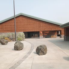
The Thomas Condon Paleontology Center presents regional geological findings, connecting visitors with millions of years of natural history through fossil exhibits.

Visitors can find information about lodging, dining, and outdoor activities through the local chamber of commerce and visitor centers. The best time to explore is during warmer months when mountain trails and recreation areas are fully accessible.

The Thomas Condon Paleontology Center displays fossils spanning millions of years from the region, making the earth's deep history visible to visitors. The collection reveals the geological story that shaped the landscape we see today.

Location: Oregon

Inception: October 14, 1864

Capital city: Canyon City

Shares border with: Morrow County, Umatilla County, Union County, Baker County, Malheur County, Harney County, Crook County, Wheeler County

Website: https://grantcountyoregon.net

GPS coordinates: 44.43841,-118.89173

Latest update: December 7, 2025 19:22

Photos
Around this place
Show the full map
Sumpter Valley Gold Dredge
United States of America

Sumpter Valley Gold Dredge

64.2 km
Kam Wah Chung Company Building
United States of America

Kam Wah Chung Company Building

5.6 km
Sumpter Valley Railway
United States of America

Sumpter Valley Railway

67.9 km
Strawberry Mountain Wilderness
United States of America

Strawberry Mountain Wilderness

17 km
North Fork John Day Wilderness
United States of America

North Fork John Day Wilderness

58.6 km
Unity Lake State Recreation Site
United States of America

Unity Lake State Recreation Site

56.4 km
James Cant Ranch
United States of America

James Cant Ranch

61.2 km
Rock Creek Butte
United States of America

Rock Creek Butte

75.3 km
Black Canyon Wilderness
United States of America

Black Canyon Wilderness

61.7 km
Monument Rock Wilderness
United States of America

Monument Rock Wilderness

49.2 km
Clyde Holliday State Recreation Site
United States of America

Clyde Holliday State Recreation Site

15.8 km
Bridge Creek Wildlife Area
United States of America

Bridge Creek Wildlife Area

67.9 km
Battle Mountain Forest State Scenic Corridor
United States of America

Battle Mountain Forest State Scenic Corridor

92.4 km
Roba Ranch
United States of America

Roba Ranch

91.5 km
Ukiah–Dale Forest State Scenic Corridor
United States of America

Ukiah–Dale Forest State Scenic Corridor

76.7 km
Unity Ranger Station
United States of America

Unity Ranger Station

56 km
Antlers Guard Station
United States of America

Antlers Guard Station

53.3 km
Advent Christian Church
United States of America

Advent Christian Church

5.5 km
Churchill School
United States of America

Churchill School

90.8 km
Allison Ranger Station
United States of America

Allison Ranger Station

80.3 km
St. Thomas' Episcopal Church
United States of America

St. Thomas' Episcopal Church

7.4 km
Supervisor's House No. 1001
United States of America

Supervisor's House No. 1001

5.3 km
John Day Compound
United States of America

John Day Compound

5.9 km
Superintendent's House
United States of America

Superintendent's House

64.4 km
Thomas Condon Paleontology Center
United States of America

Thomas Condon Paleontology Center

61.2 km
Kam Wah Chung State Heritage Site
United States of America

Kam Wah Chung State Heritage Site

5.6 km
McEwen
United States of America

McEwen

68 km
Kam Wah Chung Chinese Heritage Site
United States of America

Kam Wah Chung Chinese Heritage Site

5.6 km
Show the full map
Reviews

Visited this place? Tap the stars to rate it and share your experience / photos with the community! Try now! You can cancel it anytime.

Administrative divisions
« Grant County - County seat and administrative center in Eastern Oregon, United States » is provided by Around Us (aroundus.com). Images and texts are derived from Wikimedia project under a Creative Commons license. You are allowed to copy, distribute, and modify copies of this page, under the conditions set by the license, as long as this note is clearly visible.

Discover hidden gems everywhere you go!

From secret cafés to breathtaking viewpoints, skip the crowded tourist spots and find places that match your style. Our app makes it easy with voice search, smart filtering, route optimization, and insider tips from travelers worldwide. Download now for the complete mobile experience.

Around Us App Screenshot

A unique approach to discovering new places

Le Figaro

All the places worth exploring

France Info

A tailor-made excursion in just a few clicks

20 Minutes