Chest opened
+${chestReward.xp} XP
Explorer
NOUVEAU ×${chestReward.collectible.quantity}
tapez pour fermer

See the monuments around you in AR Open chests in the app

Around Us is built for your phone — point your camera at the streets and discover the monuments and places around you in augmented reality. Around Us is built for your phone — chests unlock when you walk, explore and capture nearby places.

•

Enable Location

We need your location to show you interesting places around you

Discover nearby places

Find interesting locations and hidden gems around you

Precise directions

Get accurate directions and distances to places

Your location is never shared with other users. It's only used when you tap the location button.

Ukiah–Dale Forest State Scenic Corridor

Log in to your account

Start exploring — it's free

Trusted by 93,804 travelers worldwide

Continue with Google
Continue with Apple
or

We will send you a code to connect

By continuing, you accept our Terms and Conditions and our Privacy Policy

Check your inbox

We've sent a pincode in your inbox. Please enter the code below.

Ukiah–Dale Forest State Scenic Corridor

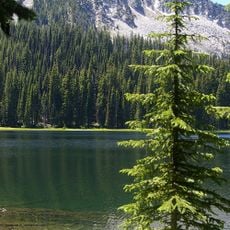
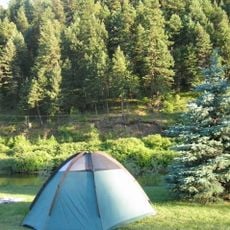
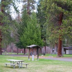
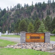
Ukiah–Dale Forest State Scenic Corridor, State park along Highway 395 in Oregon, United States.

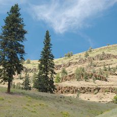
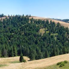
Ukiah–Dale Forest State Scenic Corridor is an Oregon state park in Umatilla County, administered by the Oregon Parks and Recreation Department. It lies in a valley at about 1,002 metres, roughly 3.2 km east of the town of Ukiah, with surrounding hills rising to 1,173 metres. The climate is Mediterranean, with July averages near 26 °C and January lows around −6 °C.

The sources give no acquisition dates, purchase records or county transactions for this corridor. They establish only that it is a state park in Oregon administered by the Oregon Parks and Recreation Department, and that it lies in Umatilla County at about 1,002 metres, roughly 3.2 km west of the town of Ukiah. The surrounding terrain is mostly hilly, with a valley setting and a summit of 1,173 metres about a kilometre to the northeast.

The park lies in a valley about 3.2 km west of Ukiah in Umatilla County, at roughly 1,002 m elevation, with surrounding hills rising to about 1,173 m. The local climate is Mediterranean, averaging 9 °C, with July highs near 26 °C and January lows around −6 °C. The surrounding countryside is mostly scrub-steppe, and fewer than two people live per square kilometre in the area.

The corridor lies in a valley in Umatilla County, about 3.2 km west of Ukiah, at roughly 1,002 m elevation, with surrounding hills rising to about 1,173 m. The nearest larger settlement is Ukiah, reached by road; the surrounding terrain is mostly hills and open plateau. Fewer than two people live per square kilometre in the area, so services are limited to what the small town provides.

The park sits at 1,002 metres in a valley of the Blue Mountains, about 3.2 km west of the small town of Ukiah in Umatilla County. The surrounding terrain is mostly hilly, with a 1,173-metre summit rising roughly a kilometre to the northeast.

The community of curious travelers

AroundUs brings together thousands of curated places, local tips, and hidden gems, enriched daily by 93,804 contributors worldwide.

Start exploring
Location
GPS coordinates
45.12540,-118.97200
Latest update
November 4, 2026 03:31
Around this place
Emigrant Springs State Heritage Area
United States of America

Emigrant Springs State Heritage Area

38 mi
North Fork John Day Wilderness
United States of America

North Fork John Day Wilderness

23.8 mi
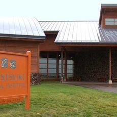
Tamástslikt Cultural Institute
United States of America

Tamástslikt Cultural Institute

39.5 mi
McKay Reservoir
United States of America

McKay Reservoir

34.3 mi
McKay Creek National Wildlife Refuge
United States of America

McKay Creek National Wildlife Refuge

34.3 mi
Bridge Creek Wildlife Area
United States of America

Bridge Creek Wildlife Area

5.6 mi
Hilgard Junction State Recreation Area
United States of America

Hilgard Junction State Recreation Area

38.6 mi
Red Bridge State Wayside
United States of America

Red Bridge State Wayside

33.2 mi
Battle Mountain Forest State Scenic Corridor
United States of America

Battle Mountain Forest State Scenic Corridor

9.8 mi
Pendleton Round-Up and Happy Canyon Hall of Fame
United States of America

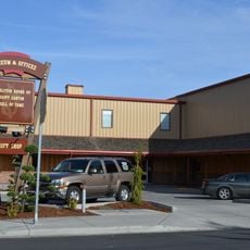
Pendleton Round-Up and Happy Canyon Hall of Fame

38.6 mi
Pendleton Center for the Arts
United States of America

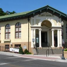
Pendleton Center for the Arts

39 mi
St. Peter's Roman Catholic Church
United States of America

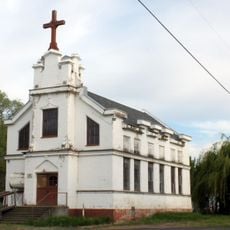
St. Peter's Roman Catholic Church

43.9 mi
John F. Kilkenny United States Post Office and Courthouse
United States of America

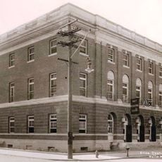
John F. Kilkenny United States Post Office and Courthouse

38.8 mi
Morrow County Courthouse
United States of America

Morrow County Courthouse

32.2 mi
RiverBend Alternative Education School
United States of America

RiverBend Alternative Education School

38.5 mi
John Anthony House
United States of America

John Anthony House

45 mi
Echo Methodist Church
United States of America

Echo Methodist Church

44.1 mi
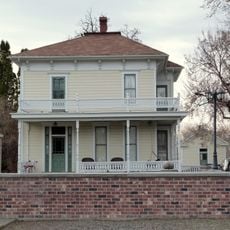
James H. and Cynthia Koontz House
United States of America

James H. and Cynthia Koontz House

44.2 mi
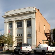
Bank of Echo Building
United States of America

Bank of Echo Building

44 mi
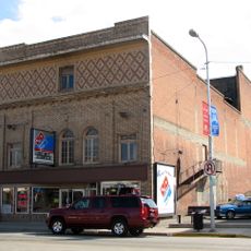
Liberty Theater
United States of America

Liberty Theater

45 mi
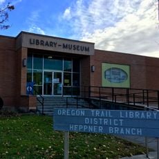
Heppner Library-Museum
United States of America

Heppner Library-Museum

32.5 mi
Anthony–Buckley House
United States of America

Anthony–Buckley House

45 mi
Echo City Hall
United States of America

Echo City Hall

44 mi
Pendleton Underground Tours Gift Shop
United States of America

Pendleton Underground Tours Gift Shop

38.8 mi
U.S. Post Office and Federal Building
United States of America

U.S. Post Office and Federal Building

44.9 mi
Gardner Building
United States of America

Gardner Building

45 mi
Granada 3 Theatre
United States of America

Granada 3 Theatre

45.1 mi
Centre Theatre
United States of America

Centre Theatre

38.8 mi
Show the full map
Reviews
Share your experience

No review yet

Discussions
Start a discussion...

No discussion yet

« Ukiah–Dale Forest State Scenic Corridor - State park along Highway 395 in Oregon, United States » is provided by Around Us (aroundus.com). Images and texts are derived from Wikimedia project under a Creative Commons license. You are allowed to copy, distribute, and modify copies of this page, under the conditions set by the license, as long as this note is clearly visible.

Discover hidden gems everywhere you go!

From secret cafés to breathtaking viewpoints, skip the crowded tourist spots and find places that match your style. Our app makes it easy with voice search, smart filtering, route optimization, and insider tips from travelers worldwide. Download now for the complete mobile experience.
Around Us App Screenshot
❝

A unique approach to discovering new places❞

— Le Figaro

❝

All the places worth exploring❞

— France Info

❝

A tailor-made excursion in just a few clicks❞

— 20 Minutes

Around Us
Travel Guide & Maps
Download

Send to your phone

QR Code
1

Open the camera app on your mobile.

2

Point at the QR code with your camera. A notification will appear.

3

Tap the notification to open the link.