Oregon

Log in to your account

AroundUs is a community-driven map of interesting places, built by curious explorers like you. It grows with every review, story, and photo you share.
Connect to save your favorite spots, contribute locations, and create personalized routes.
Continue with Google
Continue with Apple
Continue with X
Continue with Facebook
Continue with email
By continuing, you accept our Terms and Conditions and our Privacy Policy
Create an account
Add to collection
Map
Suggest a change
Share

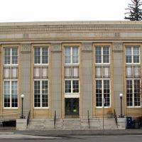
Oregon, U.S. state in Pacific Northwest, United States.

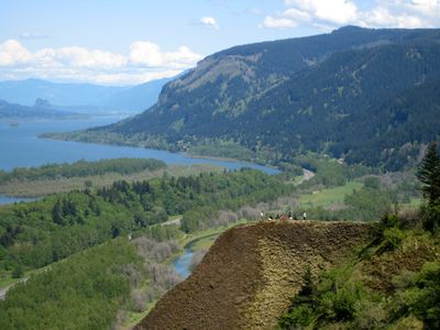
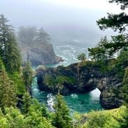
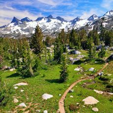
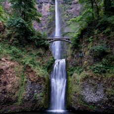
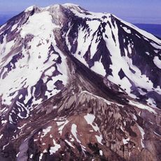
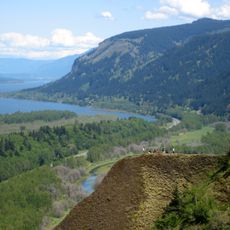
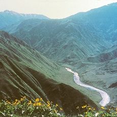
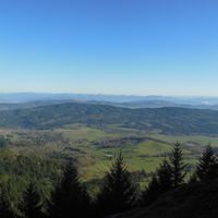
Oregon stretches from the Pacific Ocean to the Columbia River, encompassing dense forests, mountains, fertile valleys, and high desert regions across 255,000 square kilometers. The terrain varies sharply between the misty coast, the forested mountains of the Cascade Range, and the open high plains to the east.

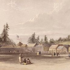
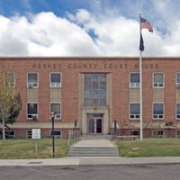
The area became the Oregon Territory through negotiations with Great Britain and joined the Union as the 33rd state on February 14, 1859. Settlers followed the Oregon Trail through the Rocky Mountains to establish themselves in the western valleys.

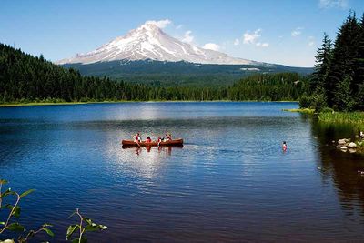
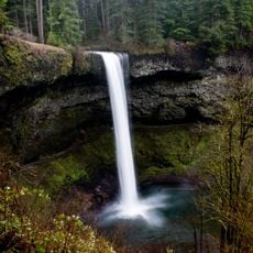
The state is known for public beaches without private access, inviting walking and lingering. People spend time in numerous state parks and natural areas, where camping and outdoor activities are part of everyday life.

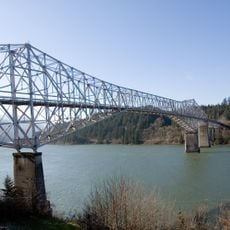
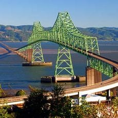
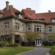
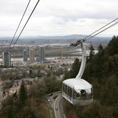
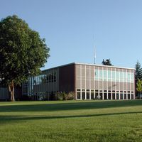
The Willamette Valley holds most population centers like Portland, Salem, and Eugene, connected by Interstate 5 running north to south. The coast sits about two hours west of the cities, while the eastern high country is accessible through mountain passes.

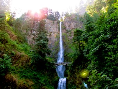
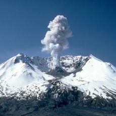
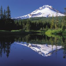
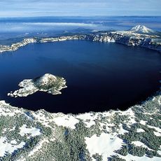
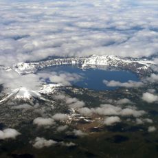
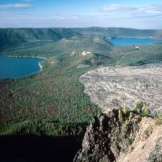
The state produces a quarter of all timber in the United States and holds Crater Lake, the deepest body of water in North America, inside a volcanic caldera. The coast offers tide pools with sea anemones, starfish, and urchins accessible at low tide.

Location: United States

Inception: February 14, 1859

Capital city: Salem

Elevation above the sea: 1,005 m

Reference: OR

Part of: Pacific Northwest

Shares border with: California, Nevada, Idaho, Washington

Website: https://oregon.gov

GPS coordinates: 43.97928,-120.73726

Latest update: December 14, 2025 19:33

Photos
Natural and historical sites across Oregon

Oregon offers a notable diversity of geological formations and natural landscapes ranging from the Pacific coastline to the volcanic plateaus of the eastern portion of the state. The Cascade Range dominates western Oregon with dense forests, waterfalls, and thermal springs, while the dry east...

Around this place
Show the full map
Reviews

Visited this place? Tap the stars to rate it and share your experience / photos with the community! Try now! You can cancel it anytime.

« Oregon - U.S. state in Pacific Northwest, United States » is provided by Around Us (aroundus.com). Images and texts are derived from Wikimedia project under a Creative Commons license. You are allowed to copy, distribute, and modify copies of this page, under the conditions set by the license, as long as this note is clearly visible.

Discover hidden gems everywhere you go!

From secret cafés to breathtaking viewpoints, skip the crowded tourist spots and find places that match your style. Our app makes it easy with voice search, smart filtering, route optimization, and insider tips from travelers worldwide. Download now for the complete mobile experience.

Around Us App Screenshot

A unique approach to discovering new places

Le Figaro

All the places worth exploring

France Info

A tailor-made excursion in just a few clicks

20 Minutes