Crook County

Log in to your account

AroundUs is a community-driven map of interesting places, built by curious explorers like you. It grows with every review, story, and photo you share.
Connect to save your favorite spots, contribute locations, and create personalized routes.
By continuing, you accept our Terms and Conditions and our Privacy Policy
Add to collection
Map
Suggest a change
Share

Crook County, Administrative division in central Oregon, United States.

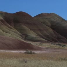
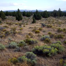
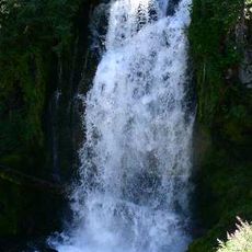
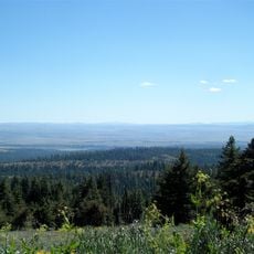
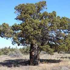
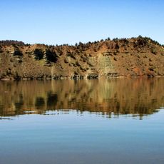
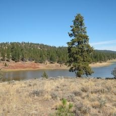
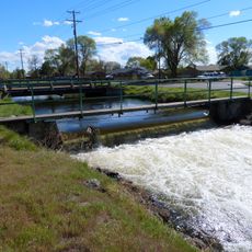
Crook County is an administrative division in central Oregon that spans varied landscapes. The region includes high desert areas, mountains, the Ochoco National Forest, and the Crooked River running through its terrain.

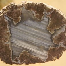
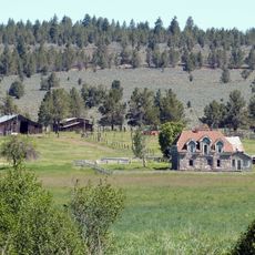
The county was established in 1882 and named after General George Crook, a military officer from the Civil War period. Its development reflects the settlement of the region and its use for ranching and resource extraction.

The annual Crook County Fair brings together local communities to showcase agricultural products, regional crafts, and traditional entertainment throughout multiple days.

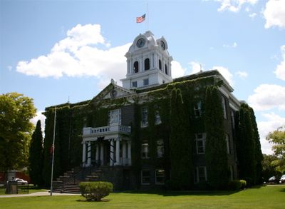
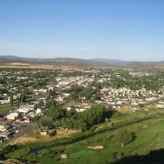
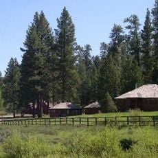
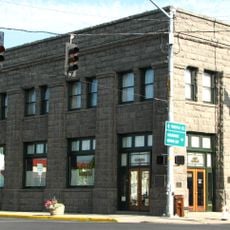
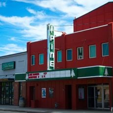
Prineville, the county seat, serves as the main hub for government services, schools, and outdoor recreation access. Visitors can find hiking trails, fishing spots, and other outdoor activities throughout the surrounding area.

The region maintains a balanced economy combining traditional ranching with modern technology sectors, as evidenced by data centers operating alongside cattle farms.

GPS coordinates: 44.14603,-120.38395

Latest update: December 7, 2025 19:24

Photos
Around this place
Smith Rock State Park
United States of America

Smith Rock State Park

65.1 km
Painted Hills
United States of America

Painted Hills

58 km
Petersen Rock Garden
United States of America

Petersen Rock Garden

70.4 km
Oregon Badlands Wilderness
United States of America

Oregon Badlands Wilderness

54.9 km
Peter Skene Ogden State Scenic Viewpoint
United States of America

Peter Skene Ogden State Scenic Viewpoint

70.1 km
Pine Mountain Observatory
United States of America

Pine Mountain Observatory

59.6 km
Bridge Creek Wilderness
United States of America

Bridge Creek Wilderness

38.8 km
Black Canyon Wilderness
United States of America

Black Canyon Wilderness

62 km
Mill Creek Wilderness
United States of America

Mill Creek Wilderness

38.6 km
Redmond–Bend Juniper State Scenic Corridor
United States of America

Redmond–Bend Juniper State Scenic Corridor

68.6 km
Ochoco State Scenic Viewpoint
United States of America

Ochoco State Scenic Viewpoint

42.4 km
Prineville Reservoir Wildlife Area
United States of America

Prineville Reservoir Wildlife Area

28.9 km
Milton Odem House
United States of America

Milton Odem House

65.1 km
Roba Ranch
United States of America

Roba Ranch

31.8 km
First Presbyterian Church of Redmond
United States of America

First Presbyterian Church of Redmond

64.7 km
Grizzly Mountain
United States of America

Grizzly Mountain

56 km
Crook County Courthouse
United States of America

Crook County Courthouse

40.6 km
Antelope Flat Reservoir
United States of America

Antelope Flat Reservoir

15.8 km
A. R. Bowman Memorial Museum
United States of America

A. R. Bowman Memorial Museum

40.9 km
Thomas M. Baldwin House
United States of America

Thomas M. Baldwin House

40.8 km
Allison Ranger Station
United States of America

Allison Ranger Station

68.3 km
Old First National Bank of Prineville
United States of America

Old First National Bank of Prineville

40.9 km
Crook County Bank Building
United States of America

Crook County Bank Building

40.8 km
Marion Reed Elliott House
United States of America

Marion Reed Elliott House

40.9 km
Lamonta Compound
United States of America

Lamonta Compound

41.7 km
Pine Theater
United States of America

Pine Theater

40.8 km
Pilot Butte Canal Downtown Redmond Segment
United States of America

Pilot Butte Canal Downtown Redmond Segment

64.5 km
Stein's Pillar
United States of America

Stein's Pillar

35 km
Show the full map
Reviews

Visited this place? Tap the stars to rate it and share your experience / photos with the community! Try now! You can cancel it anytime.

« Crook County - Administrative division in central Oregon, United States » is provided by Around Us (aroundus.com). Images and texts are derived from Wikimedia project under a Creative Commons license. You are allowed to copy, distribute, and modify copies of this page, under the conditions set by the license, as long as this note is clearly visible.

Discover hidden gems everywhere you go!

From secret cafés to breathtaking viewpoints, skip the crowded tourist spots and find places that match your style. Our app makes it easy with voice search, smart filtering, route optimization, and insider tips from travelers worldwide. Download now for the complete mobile experience.

Around Us App Screenshot

A unique approach to discovering new places

Le Figaro

All the places worth exploring

France Info

A tailor-made excursion in just a few clicks

20 Minutes