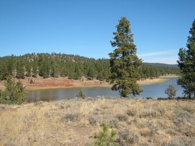
Antelope Flat Reservoir, Mountain reservoir in Ochoco National Forest, Oregon, US.
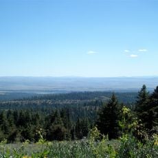
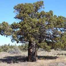
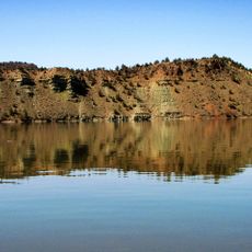
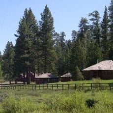
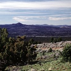
Antelope Flat Reservoir is a water storage lake in the southern Maury Mountains of Oregon's Ochoco National Forest, created by damming Bear Creek to supply irrigation water to the surrounding region. The lake covers roughly 170 acres at high elevation and sits in a forested mountain setting where coniferous trees frame the water's edge.
The reservoir was built in the mid-1900s as part of regional water management projects to support irrigation agriculture in the area. The dam created this lake by blocking Bear Creek, helping to store water for dry seasons when farmers needed reliable supply.
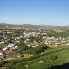
The lands surrounding Antelope Flat Reservoir hold significance as former territories of Native American tribes who relied on local resources.
The western side of the lake has a boat launch area and a campground with roughly 24 spots positioned uphill from the water. Water levels change significantly depending on the season, so plan your visit knowing that access conditions and water activities may vary throughout the year.
The lake transforms dramatically throughout the year, with water levels fluctuating between roughly 11 and 28 feet in depth depending on irrigation demands. This constant change means the shoreline looks very different in summer versus winter, creating a water body that never stays quite the same.
The community of curious travelers
AroundUs brings together thousands of curated places, local tips, and hidden gems, enriched daily by 60,000 contributors worldwide.