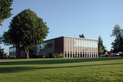
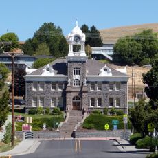
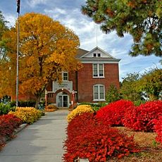
Gilliam County, County administration center in Condon, Oregon, United States
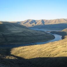
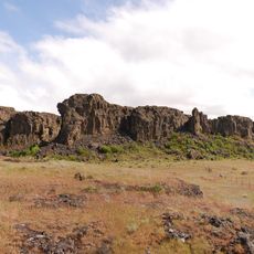
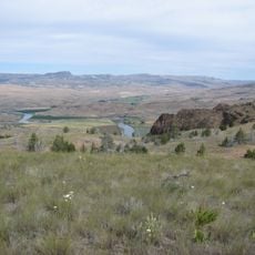
Gilliam County is an administrative region in Oregon covering roughly 1,900 square kilometers between the Columbia River to the north and Wheeler County to the south. The landscape is characterized by expansive rangelands and is governed from Condon, the county seat.
The county was created in 1885 when Oregon's legislature split the eastern portion of Wasco County to relieve residents from traveling long distances to The Dalles. This formation addressed the region's geographic isolation and growing population.
The landscape preserves trails created by early inhabitants who moved across the rangelands to reach fishing, hunting, and trading spots. These paths remain part of how the land is experienced today.
The administrative center is located in Condon, where a courthouse built in 1955 serves as the seat of county government. The building was reconstructed after a fire destroyed the original structure and its records.
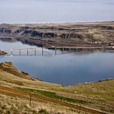
Near Arlington stands one of North America's largest wind energy installations, supported by major technology company investments in the project. The wind farm operates hundreds of turbines to generate renewable power for the region.
The community of curious travelers
AroundUs brings together thousands of curated places, local tips, and hidden gems, enriched daily by 60,000 contributors worldwide.