Cottonwood Canyon State Park, State park along John Day River, Oregon, United States
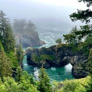
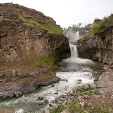
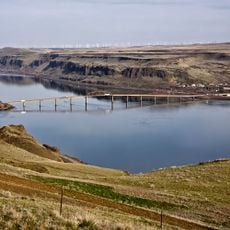
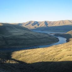
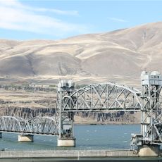
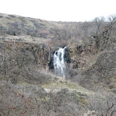
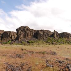
Cottonwood Canyon State Park is a protected landscape where vertical cliffs frame deep side canyons and grasslands carved by the John Day River through dark basalt rock. The river winds through these formations, creating varied terrain that shifts from open meadows to narrow passages.
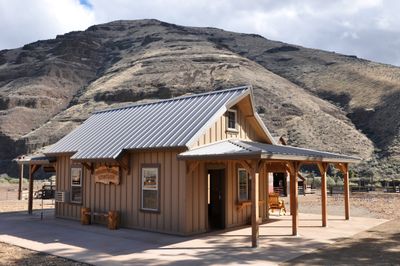
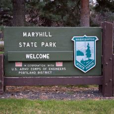
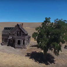
The area came under public protection in 2013 when Oregon established it as a state park, converting former private ranch land into protected public space. This move opened a historically isolated river valley to visitors and recreation.
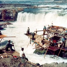
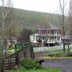
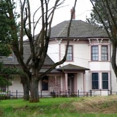
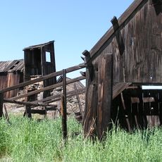
The valley shows marks of its past through old rock carvings and abandoned homesteads that hint at earlier settlement. Walking through the canyons, you encounter these remnants of how people once lived here.
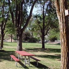
The park provides a campground with potable water and facilities, along with several cabins available throughout the year. Spring and fall offer the most comfortable visiting conditions, with moderate temperatures and easier trail access.
The park protects one of North America's longest stretches of free-flowing river, where wild steelhead and smallmouth bass thrive without dams. These clean waters reveal how this river system naturally behaves.
The community of curious travelers
AroundUs brings together thousands of curated places, local tips, and hidden gems, enriched daily by 60,000 contributors worldwide.