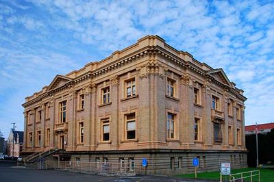
Clatsop County, Administrative division in Oregon, United States.
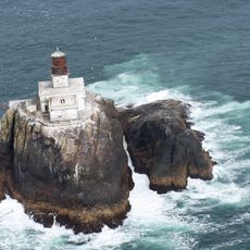
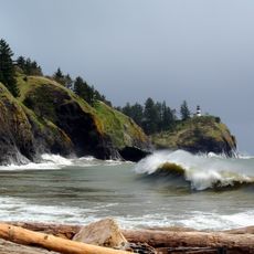
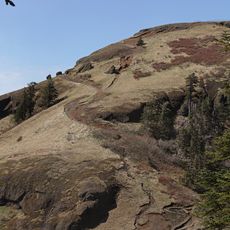
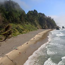
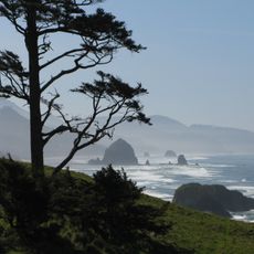
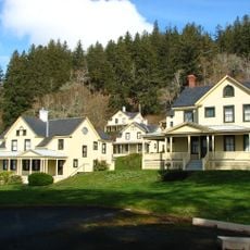
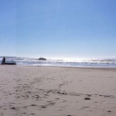
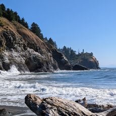
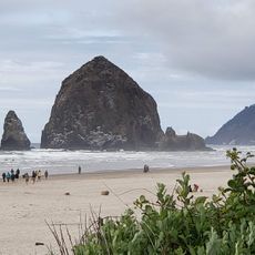
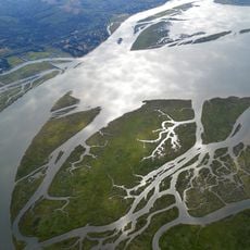
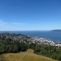
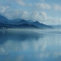
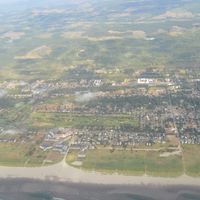
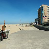
Clatsop County is an administrative region on Oregon's Pacific coast spanning roughly 1,084 square miles. Its landscape ranges from sandy beaches and rocky shores to forested valleys and rolling hills inland.
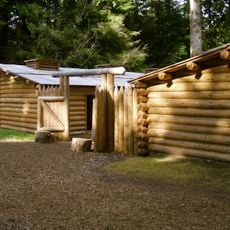
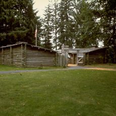
The area gained significance when the Lewis and Clark Expedition built Fort Clatsop in 1805-1806, one of the first American outposts on the western coast. This settlement served as a crucial base for exploring and recording the newly mapped territories.
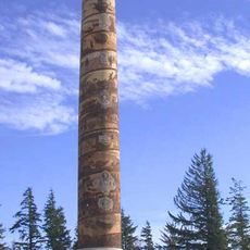
The area takes its name from the Clatsop people who lived along the Pacific coast for generations before European arrival. This heritage remains visible in local place names and community traditions today.
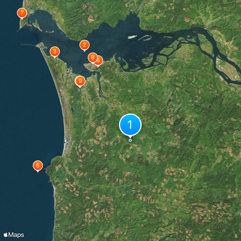
The area is easily accessible by car with several main routes and local connections throughout. Visitors should prepare for changeable coastal weather, particularly during wetter months.
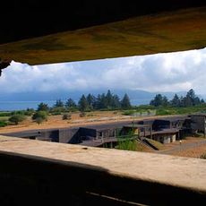
Fort Stevens here remains the only mainland U.S. military installation to come under direct fire during World War II. This surprising chapter in American military history occurred far from the main theaters of war.
Location: Oregon
Inception: 1844
Capital city: Astoria
Shares border with: Pacific County, Wahkiakum County, Columbia County, Washington County, Tillamook County
Website: http://co.clatsop.or.us
GPS coordinates: 46.01000,-123.71000
Latest update: December 7, 2025 09:21
Astoria–Megler Bridge
25.9 km
Fort Stevens
28.9 km
Fort Clatsop
19 km
Tillamook Rock Light
25.2 km
Fort Astoria
21.8 km
Astoria Column
20.8 km
Cape Disappointment State Park
41.9 km
Captain George Flavel House Museum
22.1 km
Lewis and Clark National Historical Park
18.9 km
Saddle Mountain
4.9 km
Oregon Film Museum
22.1 km
Hug Point State Recreation Site
28.3 km
John Jacob Astor Hotel
21.9 km
Cape Disappointment Light
39.6 km
Columbia River Maritime Museum
21.9 km
Ecola State Park
22.3 km
Fort Columbia State Park
32.2 km
Seaside Aquarium
17 km
United States lightship Columbia
21.9 km
Captain George Conrad Flavel House
21.7 km
Arcadia Beach State Recreation Site
26.7 km
Peter L. Cherry House
21.5 km
Julia Butler Hansen Refuge for the Columbian White-Tailed Deer
34.9 km
Jewell Meadows Wildlife Area
16.2 km
Bradley State Scenic Viewpoint
27.7 km
Tolovana Beach Wayside
24.7 km
Lewis and Clark National Wildlife Refuge
23.7 km
Youngs River Falls
8.9 kmVisited this place? Tap the stars to rate it and share your experience / photos with the community! Try now! You can cancel it anytime.
Discover hidden gems everywhere you go!
From secret cafés to breathtaking viewpoints, skip the crowded tourist spots and find places that match your style. Our app makes it easy with voice search, smart filtering, route optimization, and insider tips from travelers worldwide. Download now for the complete mobile experience.
A unique approach to discovering new places❞
— Le Figaro
All the places worth exploring❞
— France Info
A tailor-made excursion in just a few clicks❞
— 20 Minutes