Douglas County

Log in to your account

AroundUs is a community-driven map of interesting places, built by curious explorers like you. It grows with every review, story, and photo you share.
Connect to save your favorite spots, contribute locations, and create personalized routes.
Continue with Google
Continue with Apple
Continue with X
Continue with Facebook
Continue with email
By continuing, you accept our Terms and Conditions and our Privacy Policy
Create an account
Add to collection
Map
Suggest a change
Share

Douglas County, Administrative division in Oregon, United States.

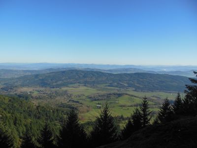
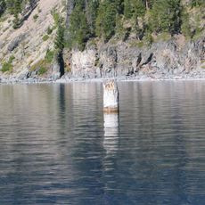
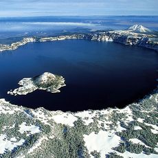
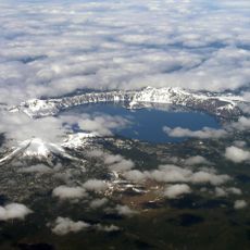
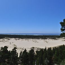
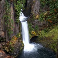
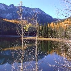
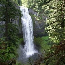
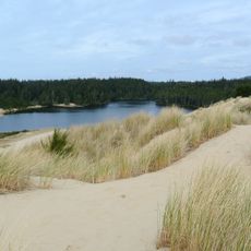
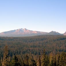
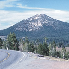
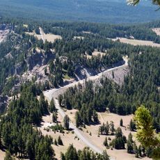
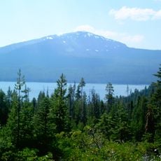
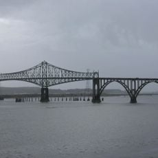
Douglas County occupies southwestern Oregon, spanning a large area that combines urban centers with expansive forests and natural landscapes. The territory features a mix of developed towns and wilderness regions throughout its boundaries.

The county was established in 1852 and named after Stephen A. Douglas, a United States Senator who influenced Oregon's territorial development. This naming reflected the significance early settlers attributed to this prominent political figure of that era.

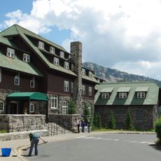
The Douglas County Museum preserves local artifacts and documents, offering educational programs about the region's development through permanent exhibitions.

Visitors can explore the area independently through roads and routes that pass through towns and forest land. The best time to visit varies depending on weather conditions, as seasons affect accessibility and conditions throughout the region.

The county operates an extensive fleet of over 1,150 vehicles and equipment pieces for various municipal operations. This sizable collection of vehicles supports all types of county operations distributed throughout the territory.

Location: Oregon

Inception: 1852

Capital city: Roseburg

Shares border with: Lane County, Klamath County, Jackson County, Josephine County, Curry County, Coos County

Website: http://co.douglas.or.us

GPS coordinates: 43.29000,-123.18000

Latest update: December 19, 2025 22:19

Photos
Around this place
Old Man of the Lake
United States of America

Old Man of the Lake

95.6 km
Crater Lake National Park
United States of America

Crater Lake National Park

93.8 km
Mount Mazama
United States of America

Mount Mazama

95.9 km
Oregon Dunes National Recreation Area
United States of America

Oregon Dunes National Recreation Area

93.9 km
Mount Thielsen
United States of America

Mount Thielsen

91.6 km
Toketee Falls
United States of America

Toketee Falls

60.6 km
Wildlife Safari
United States of America

Wildlife Safari

25.9 km
Crater Lake Lodge
United States of America

Crater Lake Lodge

94.5 km
Siuslaw National Forest
United States of America

Siuslaw National Forest

88.1 km
Salt Creek Falls
United States of America

Salt Creek Falls

92.2 km
Jessie M. Honeyman Memorial State Park
United States of America

Jessie M. Honeyman Memorial State Park

103.2 km
Diamond Peak
United States of America

Diamond Peak

87.2 km
Mount Scott
United States of America

Mount Scott

103 km
Rim Drive
United States of America

Rim Drive

90.5 km
Mount Bailey
United States of America

Mount Bailey

79.3 km
Conde McCullough Memorial Bridge
United States of America

Conde McCullough Memorial Bridge

85.7 km
United States of America

Swastika Mountain

64.7 km
Rim Village Historic District
United States of America

Rim Village Historic District

94.3 km
Umpqua River Light
United States of America

Umpqua River Light

92.1 km
Elliott State Forest
United States of America

Elliott State Forest

75.3 km
Dexter Reservoir
United States of America

Dexter Reservoir

76.7 km
United States of America

Umpqua Hot Springs

66 km
Watson Falls
United States of America

Watson Falls

64.3 km
William M. Tugman State Park
United States of America

William M. Tugman State Park

87.6 km
Prospect State Scenic Viewpoint
United States of America

Prospect State Scenic Viewpoint

83 km
Dorena Reservoir
United States of America

Dorena Reservoir

58.2 km
United States of America

Lemolo Lake

80.6 km
Coast Guard Air Station North Bend
United States of America

Coast Guard Air Station North Bend

86.8 km
Show the full map
Reviews

Visited this place? Tap the stars to rate it and share your experience / photos with the community! Try now! You can cancel it anytime.

Administrative divisions
« Douglas County - Administrative division in Oregon, United States » is provided by Around Us (aroundus.com). Images and texts are derived from Wikimedia project under a Creative Commons license. You are allowed to copy, distribute, and modify copies of this page, under the conditions set by the license, as long as this note is clearly visible.

Discover hidden gems everywhere you go!

From secret cafés to breathtaking viewpoints, skip the crowded tourist spots and find places that match your style. Our app makes it easy with voice search, smart filtering, route optimization, and insider tips from travelers worldwide. Download now for the complete mobile experience.

Around Us App Screenshot

A unique approach to discovering new places

Le Figaro

All the places worth exploring

France Info

A tailor-made excursion in just a few clicks

20 Minutes