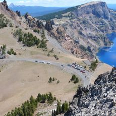
Rim Drive, highway in Oregon
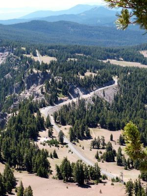
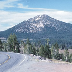
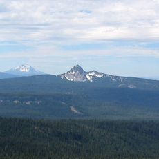
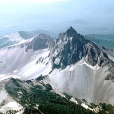
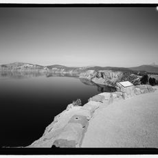
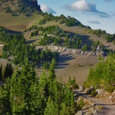
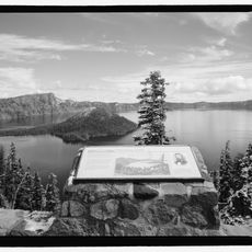
Rim Drive is a 33-mile road that circles the crater rim of Crater Lake and features approximately 50 viewpoints with parking areas. The route follows the natural topography with gentle curves and stone guardrails that blend into the landscape, with sections ranging from about 6500 to over 7800 feet in elevation and offering different perspectives of the lake, Wizard Island, and surrounding mountain ranges depending on the direction of travel.
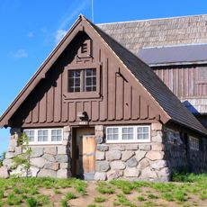
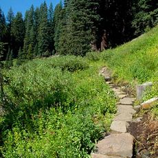
Rim Drive was constructed between 1913 and 1941, first as a simple riding trail in 1913 and later as a rough road beginning in 1919, before being substantially widened and paved during the 1930s as part of depression-era work programs. The 1931 improvements, including widening and paving, marked a significant step in making the route safer and more enjoyable while establishing it as a modern access way to Crater Lake, which had been designated a national park just years earlier.
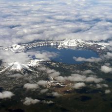
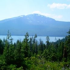
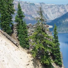
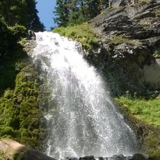
Rim Drive encircles Crater Lake, one of the deepest and clearest bodies of water in the country, and carries visitors through a landscape that shapes how people experience natural beauty. The road itself was designed to blend into the surroundings rather than dominate them, reflecting a philosophy of stewardship where travelers can witness the place without harming it.
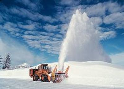
The drive around the entire lake takes at least two hours, with larger vehicles requiring more time, and speed limits typically set at 35 miles per hour or less. From November through May the route is closed due to heavy snowfall, with staged reopenings beginning in May depending on snow melt and seasonal conditions.
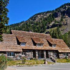
Crater Lake is the deepest lake in the United States at approximately 1950 feet, and the road itself was built during the Great Depression in the 1930s partly by the Civilian Conservation Corps using techniques intended to preserve the natural setting. This dual history makes the drive a mobile monument to both environmental stewardship and an important period of American history.
The community of curious travelers
AroundUs brings together thousands of curated places, local tips, and hidden gems, enriched daily by 60,000 contributors worldwide.