Mount Mazama, Volcanic caldera in Klamath County, Oregon, US
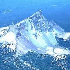
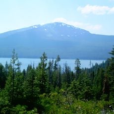
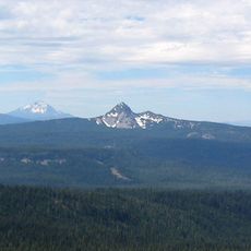
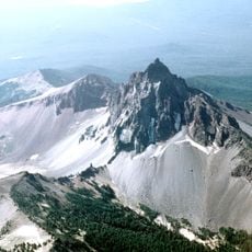
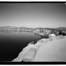
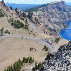
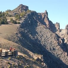
Mount Mazama is a dormant complex volcano in Klamath County, Oregon, whose summit collapsed into a caldera 8 to 10 km wide. The caldera holds Crater Lake, 1,943 feet deep, and its rim rises to Hillman Peak at 8,157 feet. The photograph shows the steep, jagged rim covered in snow, with bands of grey and brown rock and a deep blue lake filling the basin.
The volcano erupted roughly 7700 years ago, expelling large volumes of magma before the summit collapsed inward and formed the present caldera. Over the following centuries, rain and snowmelt gradually filled the basin until the lake reached its current depth.
The Klamath name for the lake is Giiwas, and their oral tradition recounts the collapse as a battle between the underworld god Llao and the sky god Skell; taboos around the lake partly explain why settlers only reached it in 1853. In 1896 William Gladstone Steel named the mountain after the Mazamas, the Portland alpine club he founded, and he led the campaign that made Crater Lake a national park in 1902.
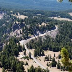
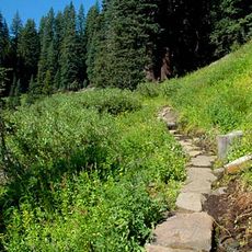
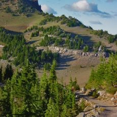
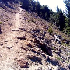
The rim road around the caldera often closes in winter and reopens in late spring or early summer once snow clears. Trails lead to different viewpoints, but some sections can be steep and require sturdy footwear.
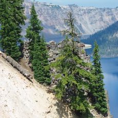
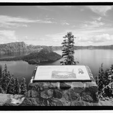
Below the lake lie different volcanic deposits formed during earlier eruptions and showing varied rock compositions. A small volcanic cone rises from the water as an island, showing that activity continued even after the main collapse.
The community of curious travelers
AroundUs brings together thousands of curated places, local tips, and hidden gems, enriched daily by 93,344 contributors worldwide.