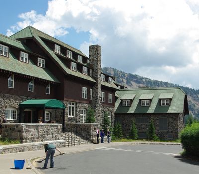
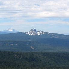
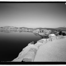
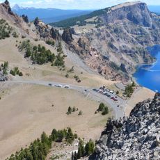
Rim Village Historic District, Historic district in Crater Lake National Park, Oregon, United States.
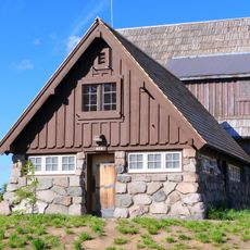
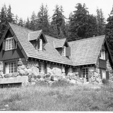
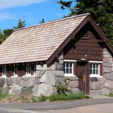
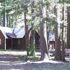
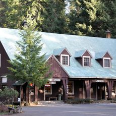
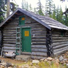
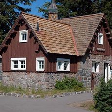
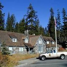
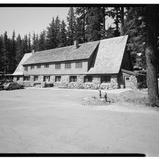
Rim Village Historic District is a collection of stone buildings and structures positioned along the southwest rim of Crater Lake's caldera. The buildings date from 1915 to 1941 and were built according to National Park Service design principles that emphasized integration with the landscape.
Construction of these buildings took place between 1915 and 1941 as the National Park Service developed visitor infrastructure for the park. The district received National Register of Historic Places status in 1997, formally recognizing the architectural and historical importance of this early development era.
The buildings here reflect a design philosophy where local stone and timber work with the natural surroundings rather than against them. You notice how structures seem to emerge from their environment instead of standing apart from it.
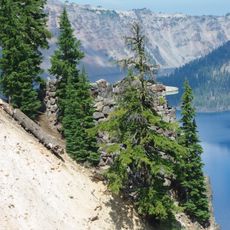
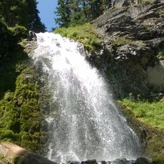
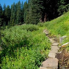
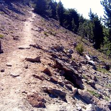
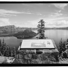
A walkway about one-third mile long runs along the caldera rim with several viewing areas and stone walls. Comfortable walking shoes are recommended since the terrain can be uneven and elevation changes occur throughout the path.
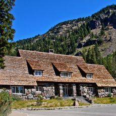
The Community House built in 1924 was the first structure completed by the National Park Service at this park and continues serving visitors today. It set design standards that later influenced how the agency approached public buildings across the entire national park system.
The community of curious travelers
AroundUs brings together thousands of curated places, local tips, and hidden gems, enriched daily by 60,000 contributors worldwide.