Enable Location

We need your location to show you interesting places around you

Discover nearby places

Find interesting locations and hidden gems around you

Precise directions

Get accurate directions and distances to places

Your location is never shared with other users. It's only used when you tap the location button.

Klamath County

Log in to your account

Start exploring — it's free

Trusted by 61,977 travelers worldwide

Continue with Google
Continue with Apple
or

We will send you a code to connect

By continuing, you accept our Terms and Conditions and our Privacy Policy

Check your inbox

We've sent a pincode in your inbox. Please enter the code below.

Klamath County, Administrative district in southern Oregon, United States.

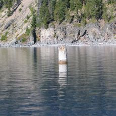
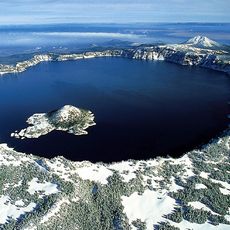
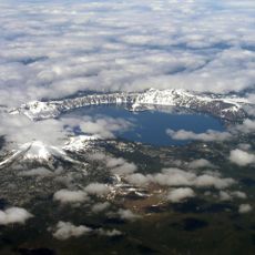
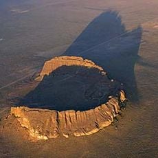
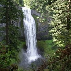
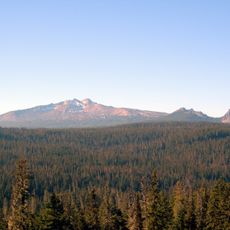
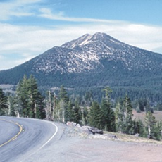
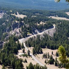
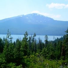
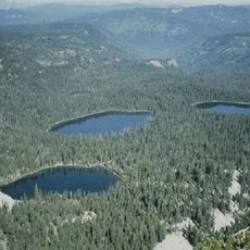
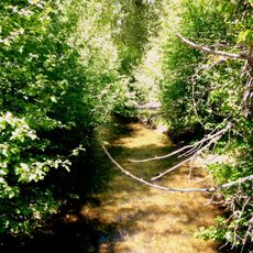
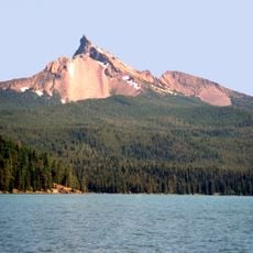
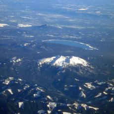
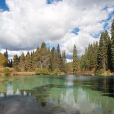
Klamath County is an administrative district in south-central Oregon featuring mountains, forests, and lakes with Crater Lake National Park dominating its southern portion. The landscape includes vast conifer forests, clear bodies of water, and volcanic mountain ranges that stretch across the entire area.

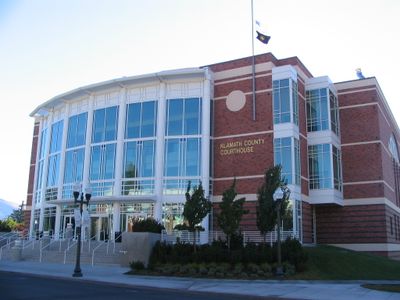
The county was established in 1882 by the Oregon legislature and named after the Klamath people who inhabited the Upper Klamath Basin region. Its creation reflected recognition of the long indigenous presence in the area.

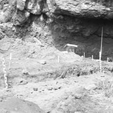
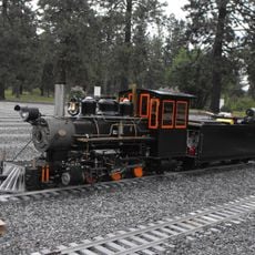
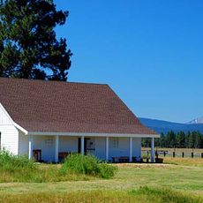
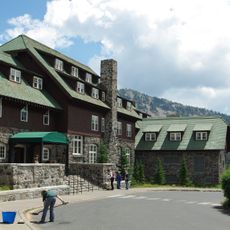
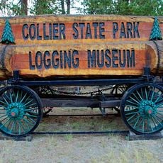
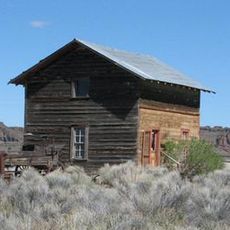
The county is home to public museums displaying local artifacts and photographs that tell the story of settlement and indigenous heritage in the Upper Klamath Basin. Visitors can explore exhibits that reflect how communities have shaped this region over time.

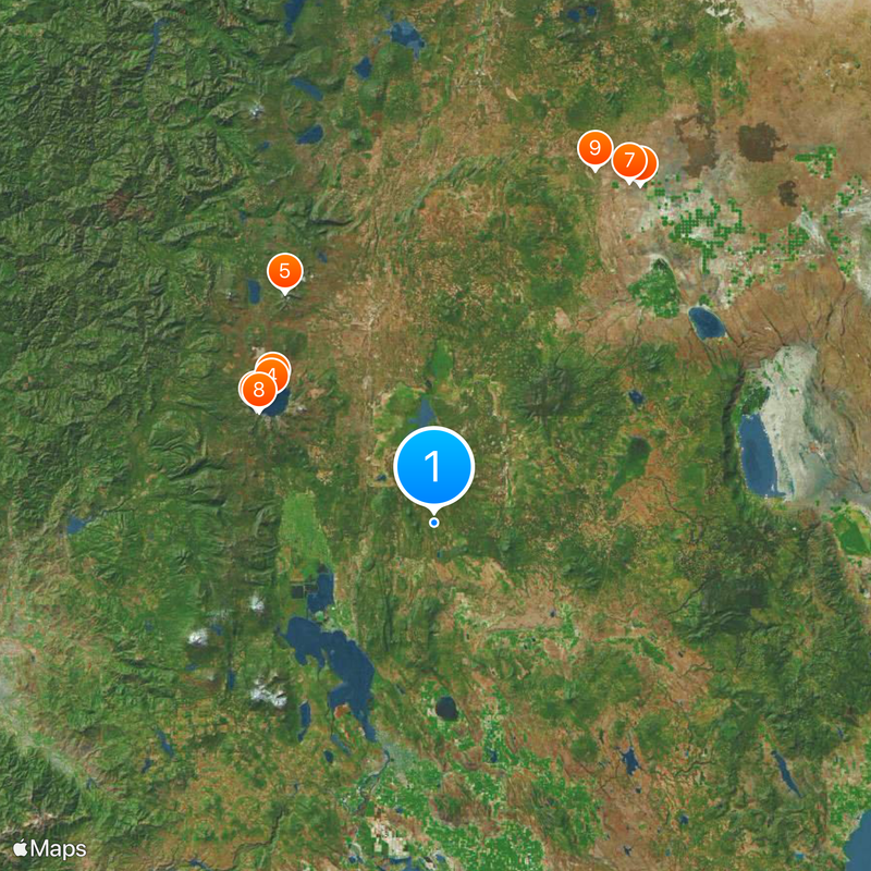
Visitors will find the region accessible through main roads leading to key attractions such as Crater Lake and forest areas. It helps to check road conditions and weather beforehand, as mountainous terrain and harsh winters can affect accessibility.

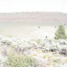
The county protects a varied wilderness landscape that serves as habitat for species like eagles and deer that migrate through higher elevations seasonally. This movement is a natural phenomenon visitors might observe during certain times of year, highlighting the importance of the undisturbed environment.

The community of curious travelers

AroundUs brings together thousands of curated places, local tips, and hidden gems, enriched daily by 60,000 contributors worldwide.

Start exploring
Location
Inception
1882
Capital city
Klamath Falls
Shares border with
Douglas County, Lane County, Deschutes County, Lake County, Siskiyou County, Modoc County, Jackson County
GPS coordinates
42.68000,-121.65000
Latest update
December 20, 2025 11:30
Around this place
Old Man of the Lake
United States of America

Old Man of the Lake

47.5 km
Crater Lake National Park
United States of America

Crater Lake National Park

48.2 km
Mount Mazama
United States of America

Mount Mazama

46.9 km
Mount Thielsen
United States of America

Mount Thielsen

62.6 km
Fort Rock
United States of America

Fort Rock

90.2 km
Fort Rock Cave
United States of America

Fort Rock Cave

89.7 km
Crater Lake Lodge
United States of America

Crater Lake Lodge

47.5 km
Hole-in-the-Ground
United States of America

Hole-in-the-Ground

88.5 km
Train Mountain Railroad
United States of America

Train Mountain Railroad

23.7 km
Salt Creek Falls
United States of America

Salt Creek Falls

110.8 km
Diamond Peak
United States of America

Diamond Peak

102 km
Mount Scott
United States of America

Mount Scott

40.3 km
Rim Drive
United States of America

Rim Drive

51.7 km
Fort Klamath
United States of America

Fort Klamath

26.5 km
Fremont-Winema National Forest
United States of America

Fremont-Winema National Forest

8 km
Mount Bailey
United States of America

Mount Bailey

70.4 km
Rim Village Historic District
United States of America

Rim Village Historic District

47.7 km
Link River Dam
United States of America

Link River Dam

51.2 km
Sky Lakes Wilderness
United States of America

Sky Lakes Wilderness

48.1 km
OC&E Woods Line State Trail
United States of America

OC&E Woods Line State Trail

53.3 km
Collier Memorial State Park
United States of America

Collier Memorial State Park

19.5 km
United States of America

Lemolo Lake

82.8 km
Sun Pass State Forest
United States of America

Sun Pass State Forest

19.3 km
Mount Thielsen Wilderness
United States of America

Mount Thielsen Wilderness

65.8 km
John C. Boyle Dam
United States of America

John C. Boyle Dam

70.1 km
Fort Rock Valley Historical Homestead Museum
United States of America

Fort Rock Valley Historical Homestead Museum

89.3 km
Diamond Peak Wilderness
United States of America

Diamond Peak Wilderness

101.6 km
Jackson F. Kimball State Recreation Site
United States of America

Jackson F. Kimball State Recreation Site

27.8 km
Show the full map
« Klamath County - Administrative district in southern Oregon, United States » is provided by Around Us (aroundus.com). Images and texts are derived from Wikimedia project under a Creative Commons license. You are allowed to copy, distribute, and modify copies of this page, under the conditions set by the license, as long as this note is clearly visible.

Discover hidden gems everywhere you go!

From secret cafés to breathtaking viewpoints, skip the crowded tourist spots and find places that match your style. Our app makes it easy with voice search, smart filtering, route optimization, and insider tips from travelers worldwide. Download now for the complete mobile experience.

Around Us App Screenshot

A unique approach to discovering new places

Le Figaro

All the places worth exploring

France Info

A tailor-made excursion in just a few clicks

20 Minutes

Around Us
Travel Guide & Maps
Download

Send to your phone

QR Code
1

Open the camera app on your mobile.

2

Point at the QR code with your camera. A notification will appear.

3

Tap the notification to open the link.