Sky Lakes Wilderness, Protected wilderness in Cascade Range, Oregon
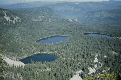
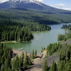
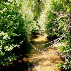
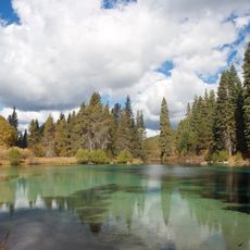
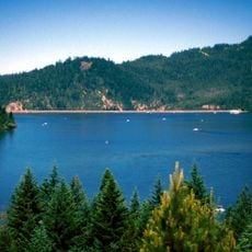
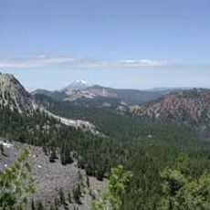
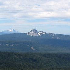
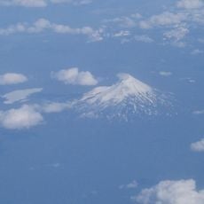
Sky Lakes Wilderness is a protected area spanning across the Cascade Range with more than 200 lakes nestled between volcanic peaks and thick forests. The landscape displays volcanic rock formations and alpine meadows that spread across the terrain, creating a natural pattern of water, stone, and trees.
The area gained official protection in 1984 when the Oregon Wilderness Act designated it as a protected zone within the National Wilderness Preservation System. This recognition came after decades of effort to preserve the mountain landscape from development.
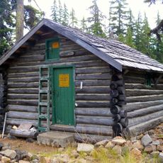
Native peoples hunted and gathered food across these lands for generations, leaving a deep connection to the landscape that continues today. Walking through here, you move through a place that holds stories of people who knew every lake and forest.
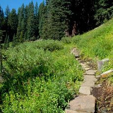
A long-distance hiking trail runs through the area and connects numerous lakes with multiple access points for visitors starting their trek. Come prepared with proper gear and water since the altitude and mountain terrain require fitness and careful planning.
A tree at Island Lake bears carvings from 1888 left by early travelers exploring the mountains. These modest inscriptions are a surprising link to how people moved through these peaks more than a century ago.
The community of curious travelers
AroundUs brings together thousands of curated places, local tips, and hidden gems, enriched daily by 60,000 contributors worldwide.