Enable Location

We need your location to show you interesting places around you

Discover nearby places

Find interesting locations and hidden gems around you

Precise directions

Get accurate directions and distances to places

Your location is never shared with other users. It's only used when you tap the location button.

Sun Pass State Forest

Log in to your account

Start exploring — it's free

Trusted by 63,045 travelers worldwide

Continue with Google
Continue with Apple
or

We will send you a code to connect

By continuing, you accept our Terms and Conditions and our Privacy Policy

Check your inbox

We've sent a pincode in your inbox. Please enter the code below.

Sun Pass State Forest
Discussion Reviews 1 Photos
3.1k Popularity

Sun Pass State Forest, Protected forest in Klamath County, Oregon, US

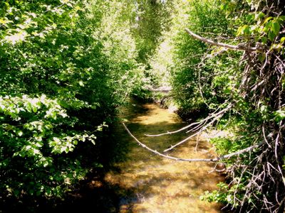
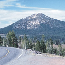
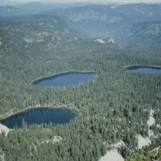
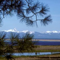
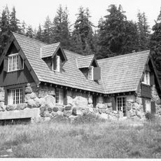
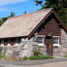
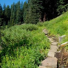
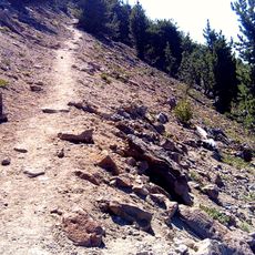
Sun Pass State Forest is a protected forest area in southern Oregon featuring extensive stands of pines and firs mixed with mountain meadows and rolling terrain. The landscape transitions from dense woodlands to open clearings, creating varied forest conditions across its boundaries.

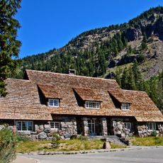
Oregon established this state forest in 1943 through the purchase of land from timber companies, beginning its public management and protection. This acquisition marked the transition from private lumber operations to state-controlled conservation of the forest.

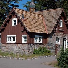
The Klamath Outdoor Science School conducts educational programs within the forest, teaching students about forestry through data collection and field observations.

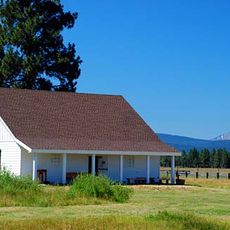
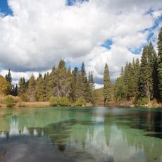
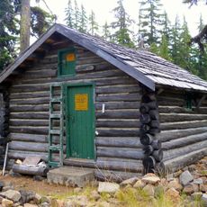
Camping is available at multiple locations throughout the forest, with many sites situated near water features and creek valleys. Visitors should confirm which areas are open and what regulations apply to their specific activities.

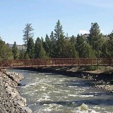
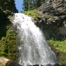
The forest contains two major streams that support populations of native trout species found nowhere else nearby, making these waterways central to the local aquatic ecosystem. These fish populations are carefully monitored to understand forest health and water quality.

The community of curious travelers

AroundUs brings together thousands of curated places, local tips, and hidden gems, enriched daily by 60,000 contributors worldwide.

Start exploring
Location
GPS coordinates
42.73740,-121.87300
Latest update
December 12, 2025 12:00
Around this place
Old Man of the Lake
United States of America

Old Man of the Lake

30.1 km
Mount Mazama
United States of America

Mount Mazama

29.2 km
Crater Lake Lodge
United States of America

Crater Lake Lodge

29.1 km
Train Mountain Railroad
United States of America

Train Mountain Railroad

18.5 km
Mount Scott
United States of America

Mount Scott

23.7 km
Fort Klamath
United States of America

Fort Klamath

9.7 km
Fremont-Winema National Forest
United States of America

Fremont-Winema National Forest

24.4 km
Rim Village Historic District
United States of America

Rim Village Historic District

29.3 km
Sky Lakes Wilderness
United States of America

Sky Lakes Wilderness

32.2 km
Collier Memorial State Park
United States of America

Collier Memorial State Park

10.5 km
Jackson F. Kimball State Recreation Site
United States of America

Jackson F. Kimball State Recreation Site

8.7 km
Klamath Marsh National Wildlife Refuge
United States of America

Klamath Marsh National Wildlife Refuge

31.7 km
Upper Klamath National Wildlife Refuge
United States of America

Upper Klamath National Wildlife Refuge

29 km
Union Peak
United States of America

Union Peak

30.5 km
Sinnott Memorial Observation Station
United States of America

Sinnott Memorial Observation Station

29.4 km
Comfort Station No. 72
United States of America

Comfort Station No. 72

29.6 km
Crater Lake Superintendent's Residence
United States of America

Crater Lake Superintendent's Residence

28.2 km
Comfort Station No. 68
United States of America

Comfort Station No. 68

29.5 km
Munson Valley Historic District
United States of America

Munson Valley Historic District

27.8 km
Plaikni Falls
United States of America

Plaikni Falls

23.9 km
Honeymoon Creek Snow-Survey Cabin
United States of America

Honeymoon Creek Snow-Survey Cabin

27.6 km
Castle Crest Wildflower Trail
United States of America

Castle Crest Wildflower Trail

27.7 km
Administration Building
United States of America

Administration Building

27.7 km
Rim Visitor Center
United States of America

Rim Visitor Center

29.4 km
Steel Visitor Center
United States of America

Steel Visitor Center

27.8 km
Mount Scott Trail
United States of America

Mount Scott Trail

23.6 km
Discovery Point
United States of America

Discovery Point

31.2 km
Mess Hall
United States of America

Mess Hall

27.8 km
Show the full map
Reviews
Share your experience

No review yet

Discussions
Start a discussion...

No discussion yet

« Sun Pass State Forest - Protected forest in Klamath County, Oregon, US » is provided by Around Us (aroundus.com). Images and texts are derived from Wikimedia project under a Creative Commons license. You are allowed to copy, distribute, and modify copies of this page, under the conditions set by the license, as long as this note is clearly visible.

Discover hidden gems everywhere you go!

From secret cafés to breathtaking viewpoints, skip the crowded tourist spots and find places that match your style. Our app makes it easy with voice search, smart filtering, route optimization, and insider tips from travelers worldwide. Download now for the complete mobile experience.

Around Us App Screenshot

A unique approach to discovering new places

Le Figaro

All the places worth exploring

France Info

A tailor-made excursion in just a few clicks

20 Minutes

Around Us
Travel Guide & Maps
Download

Send to your phone

QR Code
1

Open the camera app on your mobile.

2

Point at the QR code with your camera. A notification will appear.

3

Tap the notification to open the link.