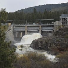
Fremont-Winema National Forest, National forest in southern Oregon, United States.
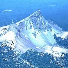
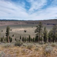
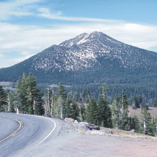
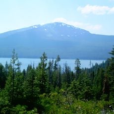
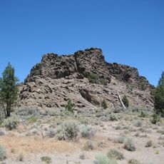
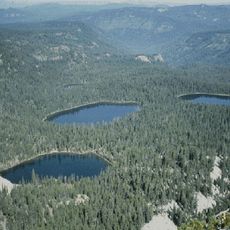
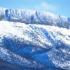
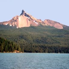
Fremont-Winema National Forest is the eastern Fremont portion of a combined forest in south-central Oregon, spanning Lake and Klamath counties. Its terrain runs from Klamath Marsh west to Winter Rim east and down to the California border near Lakeview, with Yamsay Mountain at 8,196 feet and Gearhart Mountain at 8,370 feet. The volcanic peaks rise above rolling, relatively flat country blanketed in pumice from Mount Mazama's eruption 7,620 years ago.
The forest began in 1906 as Goose Lake Forest Reserve and later combined with sections of Paulina National Forest. A major reorganization occurred in 2002 when it merged with Winema National Forest.
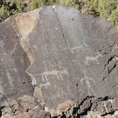
The descendants of the region's early inhabitants are the Klamath, whose oral traditions and artifact record tie them to this land; the Paiute and Modoc also have long ties to the forest. Yamsay Mountain stayed part of the Klamath Reservation until 1911, and Klamath tribal designation was restored in 1986.
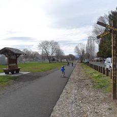
The forest can be accessed through ranger district offices located in Bly, Lakeview, Paisley, and Silver Lake. Campgrounds and hiking trails are distributed throughout the area for exploration.
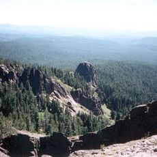
The forest's volcanic peaks formed separately from the Cascade Range: Yamsay Mountain rises to 8,196 feet and Gearhart Mountain to 8,370 feet, both built by tectonic crustal stretching rather than Cascade subduction. The eastern slopes end in a sheer scarp face above the Summer Lake sub-basin.
The community of curious travelers
AroundUs brings together thousands of curated places, local tips, and hidden gems, enriched daily by 93,580 contributors worldwide.