Gearhart Mountain Wilderness, Protected wilderness area in Fremont-Winema National Forest, Oregon.
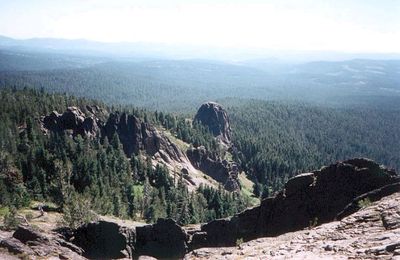
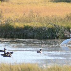
Gearhart Mountain Wilderness is a protected area within Fremont-Winema National Forest spanning approximately 22,800 acres of mountain terrain. The landscape includes rolling ridges and valleys with varying elevations that create distinct ecological zones from dense forest to open, wind-exposed peaks.
The area was designated as a Wild Area in 1943, establishing formal protection for the landscape. It gained expanded status through the Wilderness Act of 1984, which solidified its role as a federally protected wildland.
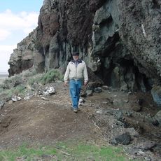
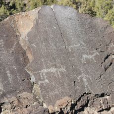
The mountain takes its name from brothers James and William Gearhart, who raised cattle in this region during the 1870s and 1880s. Today the landscape exists as pure wilderness, shaped by rocky peaks and alpine meadows that still reflect this early pastoral use.
The area includes roughly 20 miles of marked trails for hiking, with the main route running from south to north through varying terrain. Visitors should expect rugged mountain conditions, changeable weather, and minimal facilities since this is a wild, undeveloped landscape.
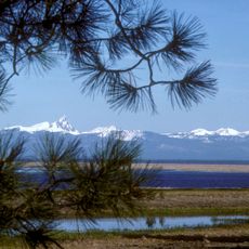
On clear days, hikers from the higher peaks can see distant mountain ranges across several states. These far-reaching views include other prominent peaks and create a panoramic sense of the larger mountain geography of the region.
The community of curious travelers
AroundUs brings together thousands of curated places, local tips, and hidden gems, enriched daily by 60,000 contributors worldwide.