Chest opened
+${chestReward.xp} XP
Explorer
NOUVEAU ×${chestReward.collectible.quantity}
tapez pour fermer

See the monuments around you in AR Open chests in the app

Around Us is built for your phone — point your camera at the streets and discover the monuments and places around you in augmented reality. Around Us is built for your phone — chests unlock when you walk, explore and capture nearby places.

Enable Location

We need your location to show you interesting places around you

Discover nearby places

Find interesting locations and hidden gems around you

Precise directions

Get accurate directions and distances to places

Your location is never shared with other users. It's only used when you tap the location button.

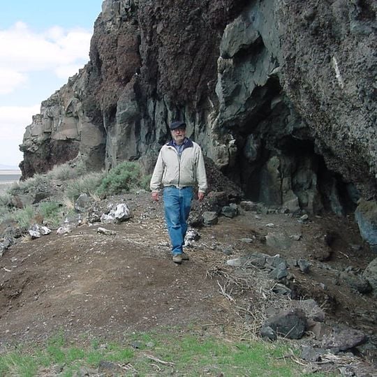
Paisley Caves

Log in to your account

Start exploring — it's free

Trusted by 84,529 travelers worldwide

Continue with Google
Continue with Apple
or

We will send you a code to connect

By continuing, you accept our Terms and Conditions and our Privacy Policy

Check your inbox

We've sent a pincode in your inbox. Please enter the code below.

Discussion Reviews 1 Photos
20.9k Popularity

Paisley Caves, Archaeological cave system in Lake County, Oregon

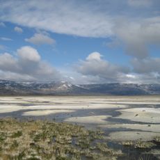
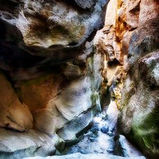
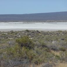
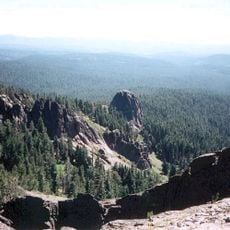
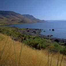
Paisley Caves is a cave system with eight natural chambers carved into a basalt ridge in Lake County, Oregon, at 4,520 feet above sea level. The site sits near the former Summer Lake, a basin in the southern part of the state that once held water.

Excavations starting in 2002 revealed evidence of human presence around 14,300 years ago, when the region's climate was wetter and cooler. Later phases show repeated use by communities over thousands of years into more recent times.

Artifacts found here reveal that people organized tools and everyday life differently from other groups at the time, pointing to independent ways of living. Visitors can understand how early inhabitants used natural shelters and left traces that remain visible today.

Access to the site is restricted to protect the research area and its fragile sediment layers. Visitors should be prepared for uneven ground and changing weather conditions in this remote inland high-elevation setting.

Analysis of organic remains provided the oldest confirmed genetic traces of humans on the North American continent. The findings offered insights into diet habits and migration routes of early inhabitants that were previously only speculated.

The community of curious travelers

AroundUs brings together thousands of curated places, local tips, and hidden gems, enriched daily by 60,000 contributors worldwide.
Start exploring
Location
GPS coordinates
42.76130,-120.55100
Latest update
August 23, 2026 17:24
Around this place
Lake Abert
United States of America

Lake Abert

29.8 km
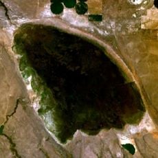
Summer Lake
United States of America

Summer Lake

18 km
Crack in the Ground
United States of America

Crack in the Ground

63.4 km
Alkali Lake
United States of America

Alkali Lake

49 km
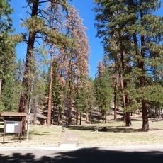
Mitchell Recreation Area
United States of America

Mitchell Recreation Area

44.6 km
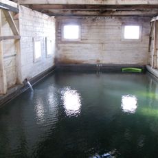
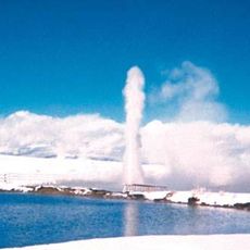
Summer Lake Hot Springs
United States of America

Summer Lake Hot Springs

8.8 km
Fremont–Winema National Forests
United States of America

Fremont–Winema National Forests

56.1 km
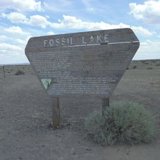
Fossil Lake
United States of America

Fossil Lake

63 km
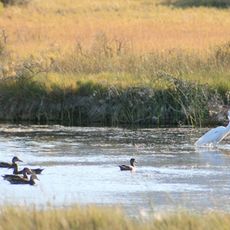
Summer Lake Wildlife Area
United States of America

Summer Lake Wildlife Area

27.4 km
Gearhart Mountain Wilderness
United States of America

Gearhart Mountain Wilderness

37.6 km
Abert Rim
United States of America

Abert Rim

49 km
Picture Rock Pass Petroglyphs Site
United States of America

Picture Rock Pass Petroglyphs Site

37.6 km
Chandler State Wayside
United States of America

Chandler State Wayside

44.9 km
Hunter's Hot Springs
United States of America

Hunter's Hot Springs

62 km
Booth State Scenic Corridor
United States of America

Booth State Scenic Corridor

63.8 km
Silver Lake
United States of America

Silver Lake

46.3 km
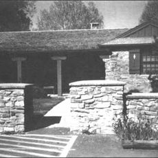
Bly Ranger Station
United States of America

Bly Ranger Station

57.1 km
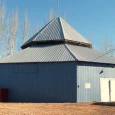
Lake County Round Sale Barn
United States of America

Lake County Round Sale Barn

64.9 km
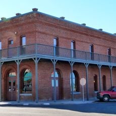
John N. and Cornelia Watson House
United States of America

John N. and Cornelia Watson House

65.8 km
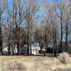
Ed Eskelin Ranch
United States of America

Ed Eskelin Ranch

61.9 km
United States of America

Mitchell Monument

44.6 km
United States of America

Crack in the Ground

64.4 km
United States of America

L

64.9 km
United States of America

Scenic viewpoint, mountain, summit, hill

60.6 km
United States of America

Scenic viewpoint

52.4 km
United States of America

Scenic viewpoint

25.9 km
United States of America

Scenic viewpoint

36.5 km
United States of America

North Warner Viewpoint

55.2 km
Show the full map
Reviews
Share your experience

No review yet

Discussions
Start a discussion...

No discussion yet

« Paisley Caves - Archaeological cave system in Lake County, Oregon » is provided by Around Us (aroundus.com). Images and texts are derived from Wikimedia project under a Creative Commons license. You are allowed to copy, distribute, and modify copies of this page, under the conditions set by the license, as long as this note is clearly visible.

Discover hidden gems everywhere you go!

From secret cafés to breathtaking viewpoints, skip the crowded tourist spots and find places that match your style. Our app makes it easy with voice search, smart filtering, route optimization, and insider tips from travelers worldwide. Download now for the complete mobile experience.

Around Us App Screenshot

A unique approach to discovering new places

Le Figaro

All the places worth exploring

France Info

A tailor-made excursion in just a few clicks

20 Minutes

Around Us
Travel Guide & Maps
Download

Send to your phone

QR Code
1

Open the camera app on your mobile.

2

Point at the QR code with your camera. A notification will appear.

3

Tap the notification to open the link.