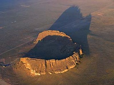
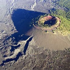
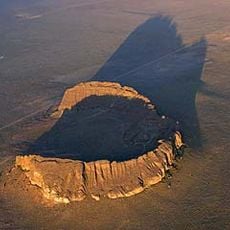
Fort Rock State Natural Area, Natural volcanic formation in Lake County, Oregon.
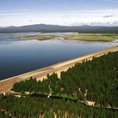
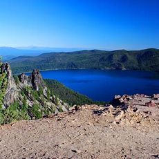
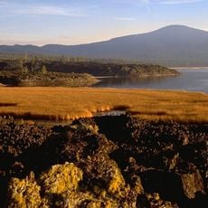
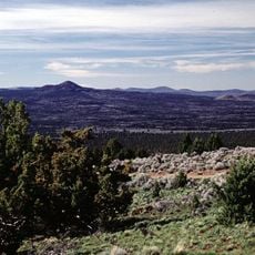
Fort Rock is a circular volcanic formation that rises approximately 300 feet above the high desert floor, with walls made of layered basalt and volcanic tuff. The steep inner walls and the broad ring create a striking geological feature visible from a distance, with trails leading through and around it for exploration.
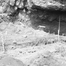
People settled in the cave beneath this formation more than 10,000 years ago, leaving behind carefully made sandals woven from sagebrush fibers that were preserved in volcanic ash. These artifacts show that the region has been inhabited and used since ancient times.
This place holds meaning for local Native American tribes who maintain their connection to ancestral lands through gatherings and knowledge sharing. Visitors can sense how the site remains a center of continuity and remembrance for the communities who belong here.
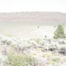
The area is accessible by paved roads, and marked hiking trails allow visitors to explore at their own pace. The best time to visit is between November and April, when weather conditions are milder and trails remain easy to navigate.
This formation emerged when magma pushed through an ancient lake bed, creating a ring structure roughly half a kilometer across. The collision between hot lava and water created this unusual geometric shape that rarely occurs in nature.
The community of curious travelers
AroundUs brings together thousands of curated places, local tips, and hidden gems, enriched daily by 60,000 contributors worldwide.