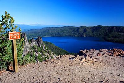
Paulina Peak, Mountain summit in Deschutes County, Oregon, US
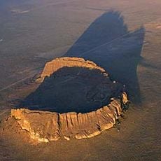
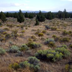
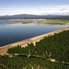
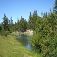
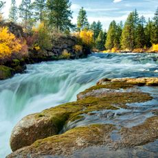
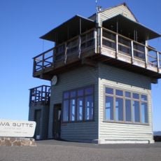
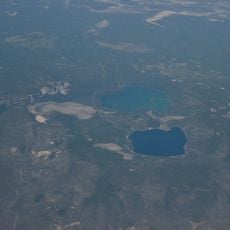
Paulina Peak is a mountain summit in the Newberry Volcanic area near Bend, Oregon, standing at about 5,400 feet. From the top, visitors look out across Central Oregon's high plateau and two mountain lakes below.
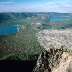
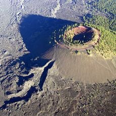
The Newberry Volcano, where Paulina Peak stands, last erupted around 1,300 years ago and shaped the current landscape. This volcanic activity created the lakes and rock formations that define the area today.
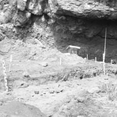
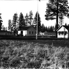
Native American tribes of Central Oregon established connections with the land around Paulina Peak, utilizing its natural resources through generations.
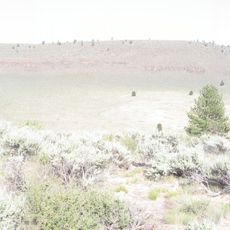
A paved road leads directly to a parking area at the base, where several trails begin for visitors of different abilities. The location is open year-round, though snow can affect conditions in winter months.
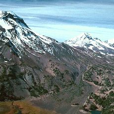
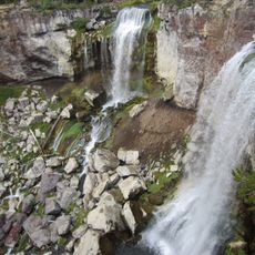
The summit displays layered volcanic lava showing how eruptions changed over different periods. Frozen lava formations remain visible on the surface, giving the landscape a raw and textured appearance.
The community of curious travelers
AroundUs brings together thousands of curated places, local tips, and hidden gems, enriched daily by 60,000 contributors worldwide.