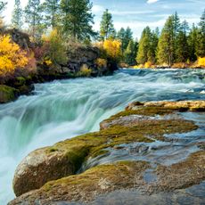
Benham Falls, Cascading waterfall on Deschutes River near Bend, United States.
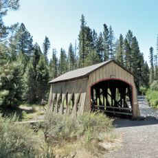
Benham Falls is a set of rapids on the Deschutes River between Sunriver and Bend, Oregon, with a pitch of 22.5° and rated Class 5 for watercraft. It is the largest falls on the upper Deschutes, dropping about 25 feet. The surrounding gorge is forested rather than lined with lava, and a footbridge links the forest road to a trail along the river.
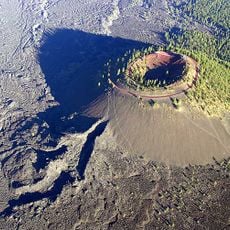
Benham Falls formed about 6,000 years ago when lava from the eruption of nearby Lava Butte dammed the Deschutes River, creating a lake called Lake Benham. The river eventually flowed over the dam, drained the lake and cut the falls. Around 1885, J. R. Benham tried and failed to file a land claim near the falls, which were later named for him.
The falls take their name from J. R. Benham, who around 1885 tried and failed to file a land claim beside them. The surrounding forest, flowers and wildlife draw hikers and mountain bikers, and the same shade that shelters them also breeds mosquitoes. The Deschutes National Forest and Newberry National Volcanic Monument both cover the site.
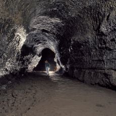
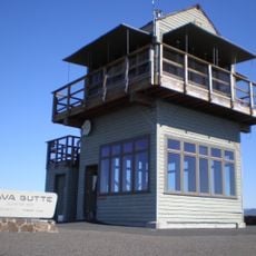
Forest roads link the falls to Lava Butte, Lava River Cave and Sunriver Resort, and a footbridge connects the forest road to an easy trail along the river. The Forest Service has built lookouts over the gorge. The shaded riverside area has mosquitoes, so plan accordingly.
Despite appearances, this is not a single waterfall but rather a series of rapids and drops spread across a substantial distance, with the majority of the descent happening gradually. Many visitors overlook the extended nature of the cascade and focus only on the most visible section.
The community of curious travelers
AroundUs brings together thousands of curated places, local tips, and hidden gems, enriched daily by 92,936 contributors worldwide.