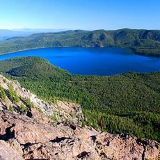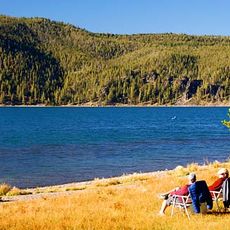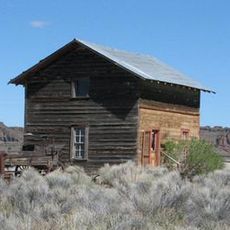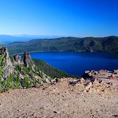
Hole-in-the-Ground, Volcanic crater in Lake County, Oregon.
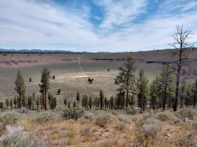
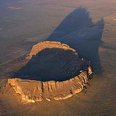
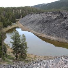
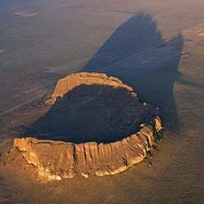
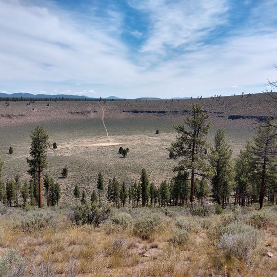
Hole-in-the-Ground is a volcanic crater measuring roughly one mile across with steep walls that drop about 490 feet below the surrounding landscape and a rim that rises about 210 feet above ground. The depression forms a nearly circular bowl with exposed rock walls showing the violent geological process that created it.
The crater formed between 13,500 and 18,000 years ago when underground magma met groundwater, triggering violent steam explosions. These powerful reactions excavated the deep depression that is visible today.
The crater sits within an area where Native Americans developed hunting practices and seasonal camps tied to the surrounding terrain. The geological formation became a landmark embedded in the daily life and knowledge of these communities.
The crater lies northeast of Crater Lake near Oregon Route 31 in Lake County. The rim's highest point is on the east side, so walk that side for the widest view. The floor sits 150 m below the surrounding ground and the rim rises 35 to 65 m above it.
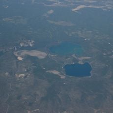
The maar lies just west of Big Hole, a larger maar about 1.1 miles across that is older and more eroded. The two craters sit close together in the Fort Rock basin, and the German source notes that similar phreatomagmatic explosions formed the Eifel maars, such as Meerfelder Maar and Dreiser Weiher.
The community of curious travelers
AroundUs brings together thousands of curated places, local tips, and hidden gems, enriched daily by 94,325 contributors worldwide.