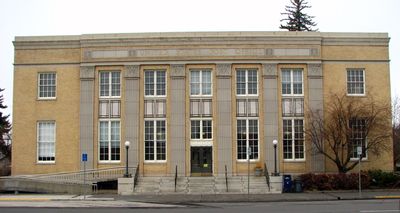
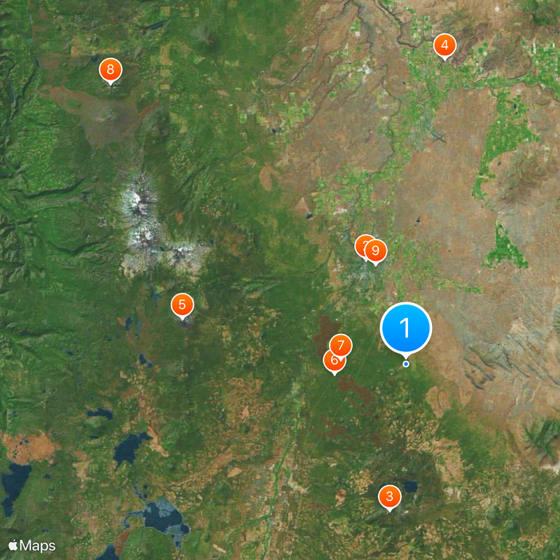
Deschutes County, County administrative division in Central Oregon, United States.
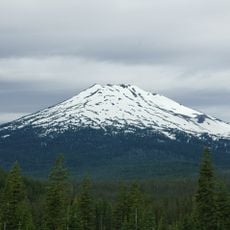
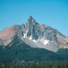
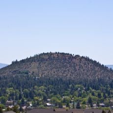
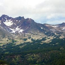
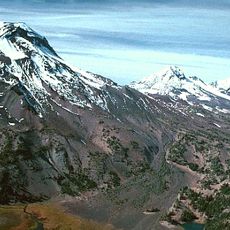
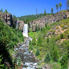
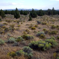
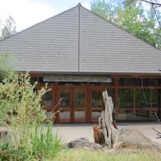
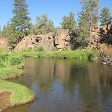
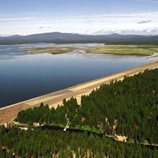
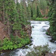
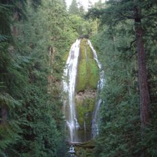
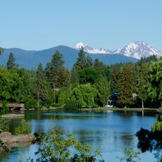
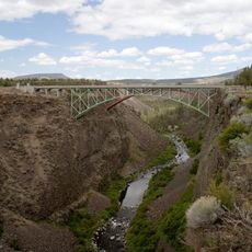
Deschutes County is an administrative region in Central Oregon with varied terrain including desert areas, mountain ranges, and river valleys. The territory encompasses several towns like Bend, Sisters, and Redmond scattered across these diverse landscapes.
The county was established in 1916 when it separated from Crook County and took its name from French-Canadian fur traders. These early merchants named the main river after the waterfalls they encountered in the area.
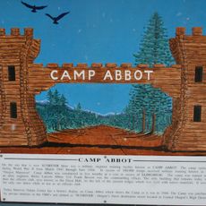
The region has deep ties to Native American communities, particularly the Warm Springs and Klamath peoples, whose influence shapes local traditions today. You can see this heritage in local crafts, gatherings, and how people connect with the land and its stories.
Regular bus routes operated by Cascades East Transit connect the main towns throughout the region. Keep in mind that connections outside the larger towns are limited, and having a car is often helpful for exploring the wider area.
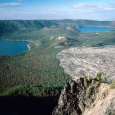
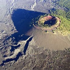
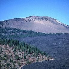
The region contains over 500 lava caves formed by eruptions from Newberry Volcano, creating one of the country's most extensive underground systems. Some of these subterranean formations are open to visitors who want to explore them.
The community of curious travelers
AroundUs brings together thousands of curated places, local tips, and hidden gems, enriched daily by 60,000 contributors worldwide.